Fort Bridger in Uinta County, Wyoming — The American West (Mountains)
Mormon Occupation
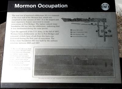
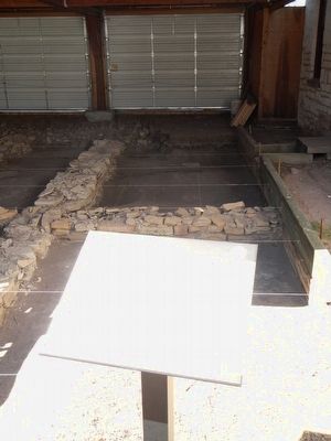
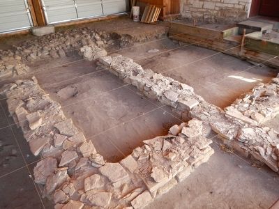
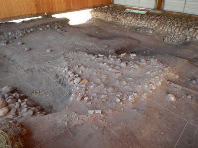
The neat row of mortared cobblestones (#1) is a remnant of the west wall of the Mormon fort, which was completed in late summer of 1857. It is the largest and most impressive feature uncovered in recent excavations at Fort Bridger. The lighter colored stone foundation (#4) ties into the cobblestones, indicating that it was constructed during the same period.
Upon the approach of the U.S. Army, in the fall of 1857, Mormon forces deliberately set fire to Fort Bridger and retreated. A thick layer of ash from this burn was discovered during the first year of excavation. The darker stone foundation (#3) was built by the military some time between 1858 and 1867.
" In May last the Mormons built a wall around it (Bridger's fort) with the following dimensions, wall 100 feet square inside, 5 at the base and runs up to 15 feet… These walls are built of small round stone laid in mortar. It is a strong wall and well built of the kind... All the buildings are burned." -- Captain Jesse A. Grover, Tenth Infantry, November 21, 1857
Topics. This historical marker is listed in this topic list: Forts and Castles.
Location. 41° 19.059′ N, 110° 23.59′ W. Marker is in Fort Bridger, Wyoming, in Uinta County. Marker can be reached from Business U.S. 80 near Main Street, on the left when traveling west. Touch for map. Marker is in this post office area: Fort Bridger WY 82933, United States of America. Touch for directions.
Other nearby markers. At least 8 other markers are within walking distance of this marker. Women at the Trading Post (here, next to this marker); Fort Bridger: A Trading Post (a few steps from this marker); The Mormon Wall (within shouting distance of this marker); Post Commissary (within shouting distance of this marker); Old Guardhouse (within shouting distance of this marker); Infantry Barracks (Museum) (within shouting distance of this marker); Digging Up the Past (within shouting distance of this marker); The Road to Zion (about 400 feet away, measured in a direct line). Touch for a list and map of all markers in Fort Bridger.
More about this marker. This marker is located on the grounds of Fort Bridger Historic Site near the museum. Obtain a map at the entrance or museum.
Credits. This page was last revised on April 19, 2022. It was originally submitted on November 15, 2015, by Barry Swackhamer of Brentwood, California. This page has been viewed 302 times since then and 11 times this year. Photos: 1, 2, 3, 4. submitted on November 15, 2015, by Barry Swackhamer of Brentwood, California.


