Stevensville in Queen Anne's County, Maryland — The American Northeast (Mid-Atlantic)
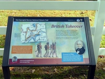
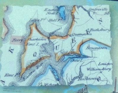
British Takeover
Star Spangled Banner National Historic Trail
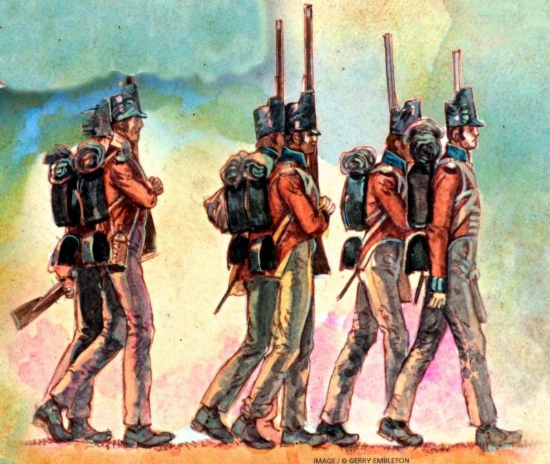
“The enemy have taken possession of Kent Island …a more eligible situation could not have been selected for their safety and convenience or from which to annoy us.”
American Captain Charles Gordon, August 7, 1813.
Prisoner of War
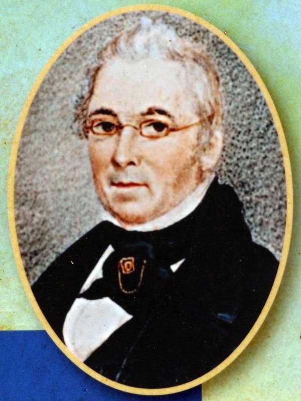
Richard Ireland Jones, a captain in the militia, owned the ferry and tavern at Broad Creek. Taken prisoner briefly on August 5, Major Jones was the only Queen Anne’s County militiaman known to have been captured by the enemy.
(Inscription beside the image on the bottom left)
Richard Ireland Jones 1770-1844-image/courtesy Ron Bryant.
Erected 2015 by National Park Service-United States Department of the Interior.
Topics and series. This historical marker is listed in this topic list: War of 1812. In addition, it is included in the Star Spangled Banner National Historic Trail series list. A significant historical date for this entry is August 5, 1813.
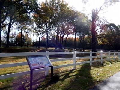
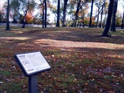
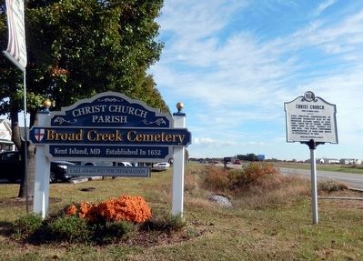
Location. 38° 58.469′ N, 76° 19.784′ W. Marker is in Stevensville, Maryland, in Queen Anne's County. Marker is on Romancoke Road. This marker is in front of Broad Creek Cemetery. To visit this marker, from Romancoke Road (SR 8) going south, turn right on the unmarked road at the Christ Church Parish-Broad Creek Cemetery sign and go west for .2 miles to the location. Touch for map. Marker is in this post office area: Stevensville MD 21666, United States of America. Touch for directions.
Other nearby markers. At least 8 other markers are within walking distance of this marker. Broad Creek Cemetery (within shouting distance of this marker); Christ Church (approx. 0.2 miles away); Kent Island (approx. 0.4 miles away); Stevensville Train Depot (approx. 0.9 miles away); Grollman's Store (approx. 0.9 miles away); Cray House (approx. 0.9 miles away); a different marker also named Christ Church (approx. 0.9 miles away); Country Store (approx. 0.9 miles away). Touch for a list and map of all markers in Stevensville.
Credits. This page was last revised on August 25, 2022. It was originally submitted on November 16, 2015, by Don Morfe of Baltimore, Maryland. This page has been viewed 609 times since then and 43 times this year. Photos: 1, 2, 3, 4, 5. submitted on November 16, 2015, by Don Morfe of Baltimore, Maryland. 6, 7. submitted on February 1, 2018, by Allen C. Browne of Silver Spring, Maryland. • Bill Pfingsten was the editor who published this page.
