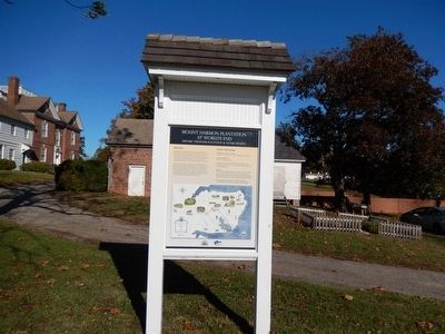
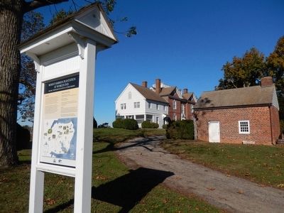
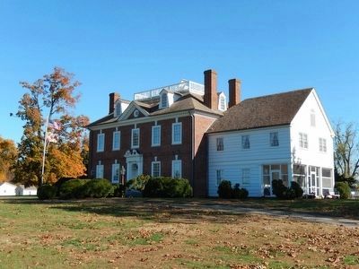
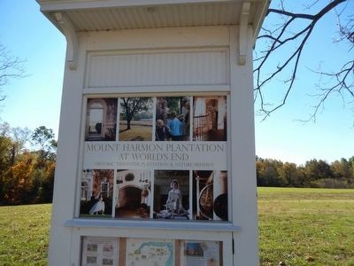
Mount Harmon Plantation at World’s End
Historic Tidewater Plantation & Nature Preserve
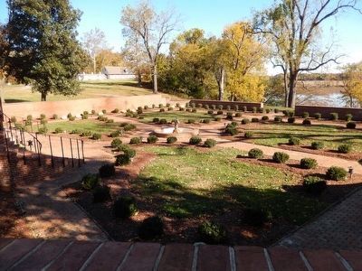
The plantation hosts a variety of tours and educational programs, special events, weddings and receptions, and other activities. Enjoy hiking, wildlife observation, picnicking and more throughout the seasons. Be sure to explore all that Mount Harmon has to offer, including our annual events and membership opportunities, which offer fun and educational ways to experience and support Mount Harmon.
Visitor Information
Visitor Season: May-October
Thursday-Sunday, 10am-3pm (last guided tour at 2 pm)
School and Group Tours
Year-round by Appointment
Available for Weddings, Private Parties and Functions. Visit www.mountharmon.org for more information about Programs and Special Events.
Mission
Mount Harmon is administrated by the Friends of Mount Harmon, Inc., a non-profit organization dedicated to preserving and interpreting the plantation for the education and enjoyment of visitors. Mount Harmon is listed on the National Register
Help to preserve this historic and scenic treasure - become a Friends of Mount Harmon member today!
At World's End
1651
Cecil County
Maryland
Topics. This historical marker is listed in these topic lists: Colonial Era • Settlements & Settlers. A significant historical year for this entry is 1651.
Location. 39° 22.9′ N, 75° 56.171′ W. Marker is near Earleville, Maryland, in Cecil County. Marker is on Mount Harmon Road. Touch for map. Marker is in this post office area: Earleville MD 21919, United States of America. Touch for directions.
Other nearby markers. At least 8 other markers are within walking distance of this marker. Plantation Life in the Colonial Era (within shouting distance of this marker); a different marker also named Mount Harmon Plantation at World's End (within shouting distance of this marker); Tobacco and Mount Harmon (within shouting distance of this marker); a different marker also named Mount Harmon Plantation at World's End (approx. 0.2 miles away); The Sassafras River (approx. 0.2 miles away); History Quest (approx. 0.2 miles away); On the Wild Side (approx. ¼ mile away); Hilltop View (approx. 0.3 miles away). Touch for a list and map of all markers in Earleville.
More about this marker. There is a "you are here" star on the map. There is a copy of this marker which is not on hmdb.org and which is elsewhere on the premises.
Credits. This page was last revised on September 21, 2020. It was originally submitted on November 17, 2015. This page has been viewed 403 times since then and 43 times this year. Last updated on September 21, 2020, by Carl Gordon Moore Jr. of North East, Maryland. Photos: 1, 2, 3, 4, 5. submitted on November 17, 2015, by Don Morfe of Baltimore, Maryland. • J. Makali Bruton was the editor who published this page.
