Rorke's Drift in Elandskraal, KwaZulu-Natal, South Africa — Southern Africa
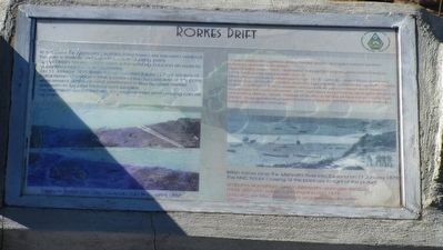
Rorkes Drift
English text:
At this point, the Mzinyathi (Buffalo) River flows over exposed bedrock. The river is shallow, making it a suitable crossing point.
By the 1850's traders and hunters were entering Zululand en route to Ulundi on a regular schedule from here.
On 11 January 1879 British forces invaded Zululand. Foot soldiers of the Natal Native Contingent (NNC) crossed the flooded river at this point, while several pontoons were positioned a few hundred metres upstream to ferry the infantry and supplies.
The roadwork associated with the original road and crossing can still be seen.
Zulu text:
uMfula uMzinyathi ugeleza phezu kwaleli dwala ukungajuli kwawo kwenza kubelula ukuwela kulendawo.
Ngeminyaka yawo 1850, abahwebi nabazingeli babengena kwela KwaZulu cishe nsukuzonke bephikelele oLundi.
Mhla zilishuminanye kuMasingana ngo 1879, umbutho wamaNgisi wahlaselo elaKwaZulu. Umbutho owabe uhamba ngezinyawo owawaziwa ngokuthi i Natal Native Contingent (NNC) wawela wona lomfula udla izindwani kanti izikebhe ezaziphase ibhuloho lokuwela, zona zazimiswe buqamama ebangeni elingat a amamitha alikhulu ukuze ziwelise umbutho ohamba phansi kanye nezindingo zempi. Ukuguguleka okungamataniswa nobujalo bomgwaqo kanye nezibuko kusangabonakala namanje.
Topics. This historical marker is listed in these topic lists: Wars, Non-US • Waterways & Vessels. A significant historical date for this entry is January 11, 1879.
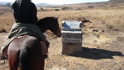
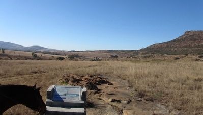
Location. 28° 20.865′ S, 30° 32.187′ E. Marker is in Rorke's Drift, KwaZulu-Natal, in Elandskraal. Marker is on Route D30, on the right when traveling north. Touch for map. Marker is in this post office area: Rorke's Drift KZN 3016, South Africa. Touch for directions.
Other nearby markers. At least 3 other markers are within 8 kilometers of this marker, measured as the crow flies. Rorke's Drift Memorial (approx. 1.2 kilometers away); Memorial to the Zulu Dead (approx. 1.2 kilometers away); Fugitives Drift Memorial (approx. 7.7 kilometers away).
More about this marker. The photograph in the lower left of the marker is captioned:
"A view of Rorkes Drift after the Anglo Zulu War, circa 1884.
The photograph at the lower right of the marker is captioned:
"British forces cross the Mzinyathi River into Zululand on 11 January 1879. The NNC troops crossing at this point are to the right of the picture."
"Umbutho wamaNgisi uwela uMzinyathi ulibanglse KwaZula mhla zilishumi nanye kuMasingana ngo 1879. Umbutho we NNC owawela la ungakwesokudla salesi sithombe."
Additional keywords.
Anglo-Zulu War
Credits. This page was last revised on August 12, 2018. It was originally submitted on November 27, 2015, by Kevin W. of Stafford, Virginia. This page has been viewed 440 times since then and 18 times this year. Photos: 1, 2, 3. submitted on November 27, 2015, by Kevin W. of Stafford, Virginia.


