Near Stonewall in Gillespie County, Texas — The American South (West South Central)
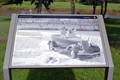
A Grand Entrance
Lyndon B. Johnson National Historical Park
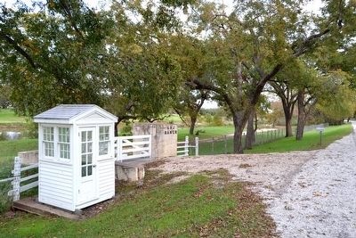
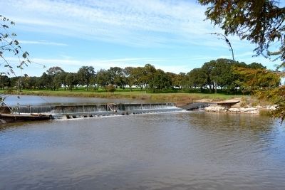
Constructed in 1951, the dam and crossing were the first improvements Lyndon Johnson made to the ranch after purchasing the property. He knew that water was the key to running a successful ranching operation in the Hill Country, though there was often not enough and sometimes, all at once, too much. To remedy this, Johnson hired Marcus Burg, a Stonewall contractor, to stretch a nine-foot-high wall of concrete across the Pedernales River.
The resulting lake supplied water to irrigate pastures for Johnsonís Hereford cattle while also containing some of the water in times of flood. An added benefit was the creation of a swimming hole for the family.
Erected by National Park Service.
Topics and series. This historical marker is listed in these topic lists: Agriculture • Bridges & Viaducts • Man-Made Features. In addition, it is included in the Former U.S. Presidents: #36 Lyndon B. Johnson series list. A significant historical year for this entry is 1951.
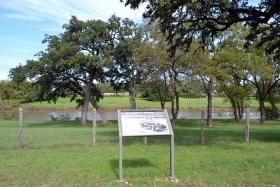
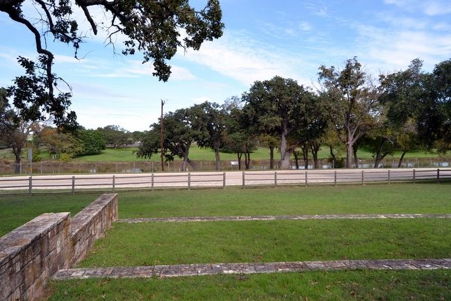
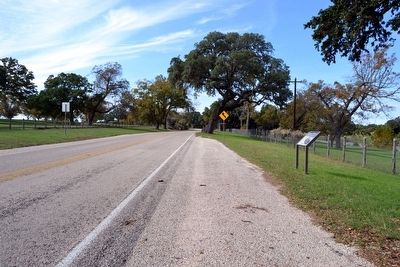
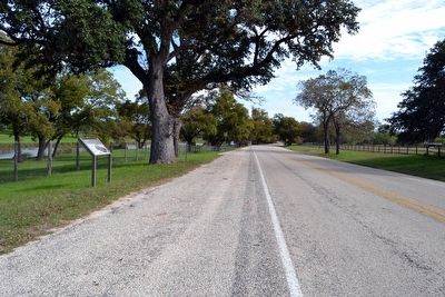
Location. 30° 14.345′ N, 98° 37.525′ W. Marker is near Stonewall, Texas, in Gillespie County. Marker is on Ranch Road 1, 0.1 miles east of Park Road 52, on the left when traveling east. Touch for map. Marker is in this post office area: Stonewall TX 78671, United States of America. Touch for directions.
Other nearby markers. At least 8 other markers are within walking distance of this marker. What is the President pointing to anyway? (within shouting distance of this marker); Within These Walls / Small Spaces, Many Faces (about 500 feet away, measured in a direct line); Longhorn Cattle and White-Tail Deer (about 600 feet away); The Texas White House (about 700 feet away); Lifetime of Service (approx. 0.2 miles away); Friendship Stones (approx. 0.2 miles away); Farm History (approx. 0.2 miles away); Sauer-Beckmann Living History Farm (approx. 0.2 miles away). Touch for a list and map of all markers in Stonewall.
More about this marker. The marker includes a background photo showing the Johnsons crossing the dam in December 1959 and a quote from Lyndon and Lady Bird Johnson: All the World is Welcome Here.
Related markers. Click here for a list of markers that are related to this marker. This list consists of 26 wayside exhibits along the LBJ Ranch driving tour in Lyndon B. Johnson NHP. The markers are in order as you would encounter them on the driving tour.
Also see . . . Lyndon B. Johnson National Historical Park - Official Website. (Submitted on November 30, 2015.)
Credits. This page was last revised on June 16, 2016. It was originally submitted on November 30, 2015, by Duane Hall of Abilene, Texas. This page has been viewed 493 times since then and 22 times this year. Photos: 1, 2, 3, 4, 5, 6, 7. submitted on November 30, 2015, by Duane Hall of Abilene, Texas.
