Near Tyler in Smith County, Texas — The American South (West South Central)
Pleasant Retreat United Methodist Church
Inscription.
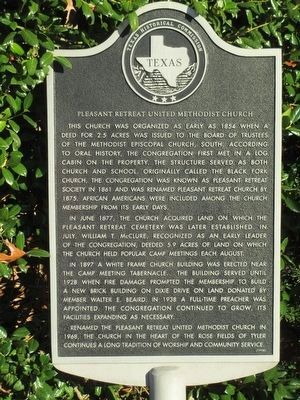
This church was organized as early as 1854 when a deed for 2.5 acres was issued to the board of trustees of the Methodist Episcopal Church, South. According to oral history, the congregation first met in a log cabin on the property. The structure served as both church and school. Originally called the Black Fork Church, the congregation was known as Pleasant Retreat Society in 1861 and was renamed Pleasant Retreat church by 1875. African Americans were included among the church membership from its early days.
In June 1877, the church acquired land on which the Pleasant Retreat Cemetery was later established. In July, William T. McClure, recognized as an early leader of the congregation, deeded 5.9 acres of land on which the church held popular camp meetings each August.
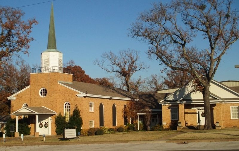
In 1897 a white frame church building was erected near the camp meeting tabernacle. The building served until 1928 when fire damage prompted the membership to build a new brick building on Dixie Drive on land donated by member Walter E. Beaird. In 1938 a full-time preacher was appointed. The congregation continued to grow, its facilities expanding as necessary.
Renamed the Pleasant Retreat United Methodist Church in 1968, the church in the heart of the rose fields of Tyler continues a long tradition of worship and community service.
Erected 1998 by Texas Historical Commission. (Marker Number 12195.)
Topics. This historical marker is listed in these topic lists: Churches & Religion • Settlements & Settlers. A significant historical year for this entry is 1854.
Location. 32° 21.533′ N, 95° 23.433′ W. Marker is near Tyler, Texas, in Smith County. Marker is on Dixie Drive (County Route 1143) 0.2 miles south of Texas Highway 64, on the left when traveling south. Touch for map. Marker is at or near this postal address: 417 County Rd 1143, Tyler TX 75704, United States of America. Touch for directions.
Other nearby markers. At least 8 other markers are within 5 miles of this marker, measured as the crow flies. Smith County (approx. ¼ mile away); Wood-Verner Cemetery (approx. 2.6 miles away); The Major John Dean House (approx. 3½ miles away); Smith County Rose Industry and the Tyler Rose Garden (approx. 4.1 miles away); History of the Tyler Municipal Rose Garden (approx. 4.1 miles away); Butler College (approx. 4.2 miles away); The Patterson Home (approx. 4.4 miles away); Judge Stockton P. Donley (approx. 4.8 miles away). Touch for a list and map of all markers in Tyler.
Also see . . . Pleasant Retreat United Methodist Church. (Submitted on December 7, 2015.)
Credits. This page was last revised on July 19, 2016. It was originally submitted on December 6, 2015, by Randal B. Gilbert of Tyler, Texas. This page has been viewed 434 times since then and 27 times this year. Photos: 1, 2. submitted on December 6, 2015, by Randal B. Gilbert of Tyler, Texas. • Bernard Fisher was the editor who published this page.

