Near Cordele in Crisp County, Georgia — The American South (South Atlantic)
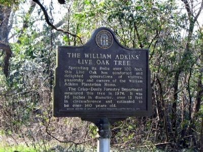
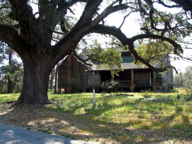
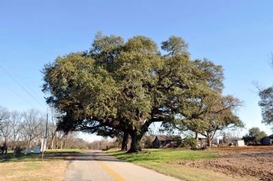
The William Adkins’ Live Oak Tree
The Crisp-Dooly Forestry Department measurerd this tree in 1976. It was 56 inches in diameter, over 15 feet in circumference and estimated to be over 160 years old.
Erected 1976 by Georgia House of Representatives.
Topics. This historical marker is listed in this topic list: Horticulture & Forestry. A significant historical year for this entry is 1976.
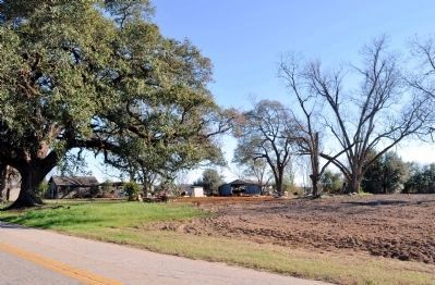
Location. Marker is missing. It was located near 32° 1.27′ N, 83° 52.746′ W. Marker was near Cordele, Georgia, in Crisp County. Marker was at the intersection of Drayton Road and Gilbert Road, on the left when traveling west on Drayton Road. Marker is at the tree and house, located where Gilbert Road intersects Drayton Road, west of Cordele, Georgia. Touch for map. Marker was in this post office area: Cordele GA 31015, United States of America. Touch for directions.
Other nearby markers. At least 8 other markers are within 7 miles of this location, measured as the crow flies. Camp Safety Patrol (approx. 4.2 miles away); Georgia Veterans Memorial State Park (approx. 4.2 miles away); Spanish-Indian Battle (approx. 4.6 miles away); Veterans of Foreign Wars Group Camp (approx. 5.1 miles away); a different marker also named Georgia Veterans Memorial State Park (approx. 5.1 miles away); The Luther Story Bridge (approx. 6.2 miles away); Blackshear Trail (approx. 6.3 miles away); a different marker also named The Luther Story Bridge (approx. 6.4 miles away). Touch for a list and map of all markers in Cordele.
Credits. This page was last revised on June 4, 2020. It was originally submitted on July 13, 2008, by David Seibert of Sandy Springs, Georgia. This page has been viewed 4,748 times since then and 23 times this year. Photos: 1, 2. submitted on July 13, 2008, by David Seibert of Sandy Springs, Georgia. 3, 4. submitted on January 15, 2012, by David Seibert of Sandy Springs, Georgia. • Christopher Busta-Peck was the editor who published this page.


