Pontotoc in Mason County, Texas — The American South (West South Central)
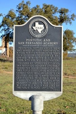
Pontotoc and San Fernando Academy
(Site of Academy is 100 yards north)
Pontotoc, settled about 1859, was named by first merchant, M.R. Kidd, for his former home town in Mississippi. Post office was opened in 1878 in the B.J. Willis home, with Mrs. Willis postmaster.
Founded by interested citizens, San Fernando Academy (probably named for nearby creek), opened 1883. Pupils (200 during academy's career) took regular subjects or courses leading toward teacher certificates. Principals were K.T. Hamilton and W.C. Roaten. After academy failed, site was sold by W.J. and B.J. Willis and used by the public school until 1927.
Erected 1972 by State Historical Survey Committee. (Marker Number 11294.)
Topics. This historical marker is listed in these topic lists: Education • Settlements & Settlers. A significant historical year for this entry is 1859.
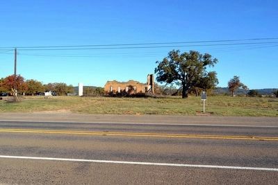
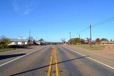
Location. 30° 54.57′ N, 98° 58.741′ W. Marker is in Pontotoc, Texas, in Mason County. Marker is on State Highway 71, 0.1 miles west of Farm to Market Road 501, on the right when traveling west. Touch for map. Marker is in this post office area: Pontotoc TX 76869, United States of America. Touch for directions.
Other nearby markers. At least 8 other markers are within 14 miles of this marker, measured as the crow flies. Veterans of the Hutchison School (about 400 feet away, measured in a direct line); Union Band Cemetery (approx. 4.1 miles away); Huffman Cemetery (approx. 5 miles away); Wagram Cemetery (approx. 9.1 miles away); Valley Spring Cemetery (approx. 9.3 miles away); Community of Valley Spring (approx. 10.1 miles away); Homesite of Emil Kriewitz (approx. 10.6 miles away); Salem Cemetery (approx. 13.2 miles away).
Also see . . . Pontotoc, TX. From the Texas State Historical Association's "Handbook of Texas Online". (Submitted on December 11, 2015.)
Credits. This page was last revised on November 28, 2020. It was originally submitted on December 11, 2015, by Duane Hall of Abilene, Texas. This page has been viewed 1,458 times since then and 82 times this year. Photos: 1, 2, 3. submitted on December 11, 2015, by Duane Hall of Abilene, Texas.


