Amarillo in Potter County, Texas — The American South (West South Central)
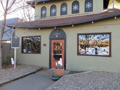
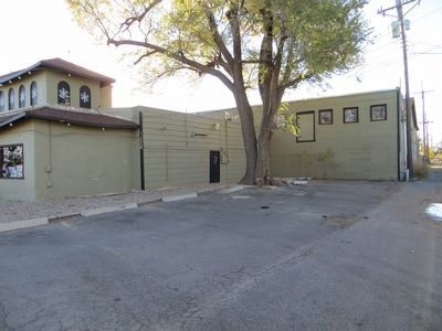
Amarillo Natatorium ("The Nat")
Erected 1996 by Texas Historical Commission. (Marker Number 146.)
Topics and series. This historical marker is listed in this topic list: Notable Buildings. In addition, it is included in the U.S. Route 66 series list. A significant historical month for this entry is July 1922.
Location. 35° 12.666′ N, 101° 52.006′ W. Marker is in Amarillo, Texas, in Potter County. Marker is on SW 6th Avenue, on the right when traveling east. Touch for map. Marker is at or near this postal address: 2705 SW 6th Avenue, Amarillo TX 79106, United States of America. Touch for directions.
Other nearby markers. At least 8 other markers are within 2 miles of this marker, measured as the crow flies. Route 66 in Amarillo (within shouting distance of this marker); Northwest Texas Hospital School of Nursing (approx. ¼ mile away); St. Mary's Academy (approx. 1.2 miles away); Panhandle Boys of the World War (approx. 1.2 miles away); Wild Horse Lake (approx. 1.2 miles away); Juan de Padilla (approx. 1.2 miles away); American Legion Hanson Post No. 54 (approx. 1.3 miles away); H. B. Sanborn House (approx. 1.4 miles away). Touch for a list and map of all markers in Amarillo.
Credits. This page was last revised on July 23, 2018. It was originally submitted on December 19, 2015, by Bill Kirchner of Tucson, Arizona. This page has been viewed 609 times since then and 24 times this year. Last updated on July 9, 2018, by Craig Baker of Sylmar, California. Photos: 1, 2, 3. submitted on December 19, 2015, by Bill Kirchner of Tucson, Arizona. • Syd Whittle was the editor who published this page.


