Amarillo in Potter County, Texas — The American South (West South Central)
Amarillo Helium Plant
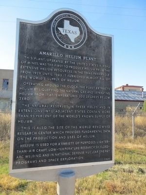
Operating around the clock, the plant extracts helium by liquefying the natural gas and separating helium from it at temperatures 300 degrees below zero.
The natural reserves in these fields and in extensions into adjacent states contain more than 95 percent of the world's known supply of helium.
This is also the site of the world renowned research center which provides fundamental data on the production and uses of helium.
Helium is used for a variety of purposes: lighter-than-air craft, low-temperature research, shielded-arc welding; and in national defense, nuclear energy programs and space exploration.
Erected 1965 by State Historical Survey Committee. (Marker Number 144.)
Topics. This historical marker is listed in this topic list: Industry & Commerce. A significant historical year for this entry is 1929.
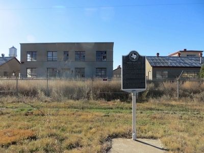
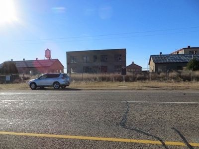
Location. Marker has been reported missing. It was located near 35° 11.483′ N, 101° 57.296′ W. Marker was in Amarillo, Texas, in Potter County. Marker was on Amarillo Boulevard West, 0.1 miles east of Helium Road, on the right when traveling east. Touch for map. Marker was in this post office area: Amarillo TX 79124, United States of America. Touch for directions.
Other nearby markers. At least 8 other markers are within 5 miles of this location, measured as the crow flies. Cadillac Ranch (approx. 1.8 miles away); Helium Time Columns (approx. 2.4 miles away); 1983 Relocation of the Helium Monument (approx. 2.4 miles away); Jack B. Kelley (approx. 2.4 miles away); Quanah Parker Comanche Chief (approx. 3.1 miles away); Quanah Parker Trail (approx. 3.1 miles away); Smith-Rogers House (approx. 3.6 miles away); William Henry Bush (approx. 4.7 miles away). Touch for a list and map of all markers in Amarillo.
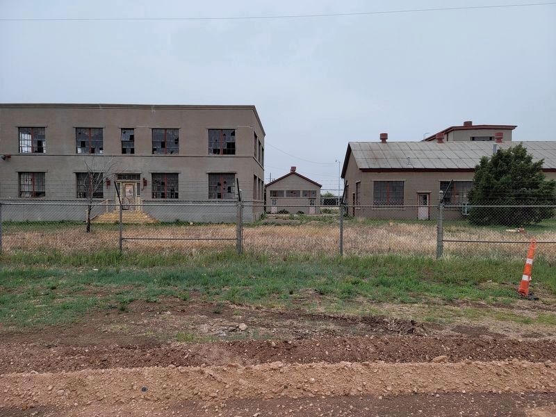
Regarding Amarillo Helium Plant. The marker and pole are currently missing, probably due to construction ongoing in the area (May 2021).
Credits. This page was last revised on May 11, 2021. It was originally submitted on December 19, 2015, by Bill Kirchner of Tucson, Arizona. This page has been viewed 956 times since then and 79 times this year. Last updated on May 11, 2021, by Allen Lowrey of Amarillo, Texas. Photos: 1, 2, 3. submitted on December 19, 2015, by Bill Kirchner of Tucson, Arizona. 4. submitted on May 11, 2021, by Allen Lowrey of Amarillo, Texas. • J. Makali Bruton was the editor who published this page.


