Near Bessemer Bend in Natrona County, Wyoming — The American West (Mountains)
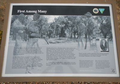
First Among Many
In 1810, Robert Stuart, an agent of John Jacob Astor's Pacific Fur Company, traveled by sea from New York to Astoria, the company's fort near the mouth of the Columbia River. Company agents directed Stuart to return to New York and report on their progress in the fall of 1812. Traveling overland along river courses, his party arrived at St. Louis during April 1813. Aware of the importance of the journey, Stuart kept a journal detailing their route, wildlife encounters, and the landscape.
Heeding advice from a Shoshone Indian, Stuart and his men likely crossed the continental divide - an thus the Rocky Mountains - by what would come to be known as South Pass. Stuart presented his journal to President Madison, and Astor told Thomas Jefferson of the party's route. Although Astoria was surrendered to the Canadian's North West Company in Stuart's absence, its value to the United States was clear. As historian Bernard DeVoto wrote in The Course of Empire, since Astoria was built at just the right moment in time,
"...it placed the Columbia River country, all the vast area that was to be called Oregon, in the domain of international relations."
Stuart's account, and the exploration that followed, promoted westward migration as widespread knowledge to the route encouraged emigrants to lay claim to Oregon.
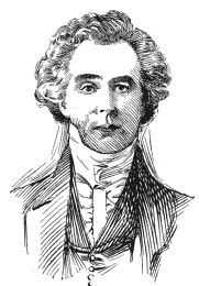
Robert Stuart (inset portrait) and his eastbound party of skilled trappers camped on the opposite side of the North Platte River for five weeks in November and December of 1812, about one mile downstream from where you are standing.
They constructed a log shelter near the river, but when a war party of "twenty-three Arapohays" examined the cabin and took the measure of his group before continuing north, Stuart led the Astorians downstream to winter at the site of present-day Torrington, Wyoming.
Erected by Department of the Interior, Bureau of Land Management.
Topics and series. This historical marker is listed in these topic lists: Exploration • Industry & Commerce. In addition, it is included in the Former U.S. Presidents: #04 James Madison, and the Oregon Trail series lists. A significant historical month for this entry is April 1813.
Location. 42° 46.467′ N, 106° 31.839′ W. Marker is near Bessemer Bend, Wyoming, in Natrona County. Marker is on Bessemer Bend Road (Route
308) near Speas Road (Route 311), on the right when traveling east. Touch for map. Marker is at or near this postal address: 14456 Bessemer Bend Road, Casper WY 82604, United States of America. Touch for directions.
Other nearby markers. At least 8 other markers are within walking distance of this marker. Marking Their Progress (within shouting distance of this marker); Witnessing the Past (within shouting distance of this marker); Shape of the Future (within shouting distance of this marker); Science Visits the West (within shouting distance of this marker); Ranching Takes Its Place (within shouting distance of this marker); Red Buttes (within shouting distance of this marker); Reluctant Farewells (within shouting distance of this marker); Queen City of the West (about 300 feet away, measured in a direct line). Touch for a list and map of all markers in Bessemer Bend.
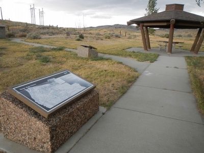
Regarding First Among Many. This marker is located at the Bureau of Land Management's Bessemer Bend Historic Site.
Also see . . . Robert Stuart - Wikipedia. Stuart thus helped blaze the Oregon Trail from the Columbia to the Missouri River. His journal is a detailed account of the wintertime trip, and Washington Irving's Astoria is said to be based on it. Presented to Astor and President James Madison, and published in France, it did not make location of the South Pass widely known. (Submitted on January 1, 2016, by Barry Swackhamer of Brentwood, California.)
Additional keywords. Astorians
Credits. This page was last revised on June 16, 2016. It was originally submitted on January 1, 2016, by Barry Swackhamer of Brentwood, California. This page has been viewed 345 times since then and 13 times this year. Photos: 1, 2, 3. submitted on January 1, 2016, by Barry Swackhamer of Brentwood, California.


