Clarksville in Montgomery County, Tennessee — The American South (East South Central)
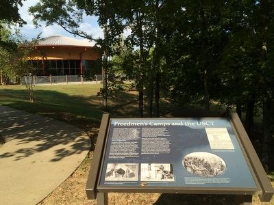
Freedmen's Camp and the USCT
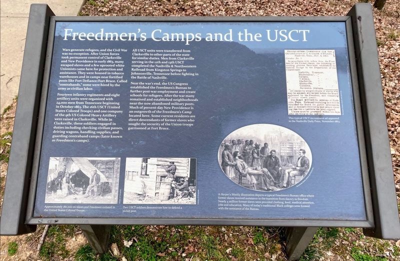
Fourteen infantry regiments and eight artillery units were organized with 24,000 men from Tennessee beginning in October 1863. The 16th USCT (United States Colored Troops) and one company of the 9th US Colored Heavy Artillery were raised in Clarksville. While in Clarksville, these soldiers engaged in duties including checking civilian passes, driving wagons, handling supplies, and guarding contraband camps (later known as Freedmen's camps).
All USCT units were transferred from Clarksville to other parts of the state for similar duties. Men from Clarksville serving in the 12th and 13th USCT completed the Nashville & Northwestern Railroad from Kingston Springs to Johnsonville, Tennessee before fighting in the Battle of Nashville.
Near the war's end, the US Congress established the Freedmen's Bureau to further post-war employment and create schools for refugees. After the war many remained and established neighborhoods near the now abandoned military posts. Much of present-day New Providence is an outgrowth of the Freedmen's Camp located here. Some current residents are direct descendants of former slaves who sought the security of the Union troops garrisoned at Fort Bruce.
Erected 2008 by the City of Clarksville.
Topics. This historical marker is listed in these topic lists: African Americans • Forts and Castles • War, US Civil. A significant historical month for this entry is October 1863.
Location. 36° 32.467′ N, 87° 22.386′ W. Marker is in Clarksville, Tennessee, in Montgomery County. Marker can be reached from A Street, 0.2 miles south of Walker Street. Touch for map. Marker is at or near this postal address: 120 Duncan Street, Clarksville TN 37042, United States of America. Touch for directions.
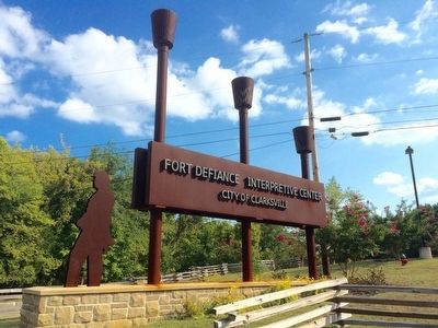
Other nearby markers. At least 8 other markers are within walking distance of this marker. Life as a Garrisoned Union Soldier (a few steps from this marker); Bringing the War to Clarksville (within shouting distance of this marker); Building Fort Sevier (Defiance) (within shouting distance of this marker); Fort Defiance Interpretive Center (within shouting distance of this marker); Forts Versus Ironclads (within shouting distance of this marker); Fort Defiance (within shouting distance of this marker); a different marker also named Fort Defiance (about 300 feet away, measured in a direct line); Tobacco Trade and the Rivers (about 300 feet away). Touch for a list and map of all markers in Clarksville.
Also see . . . From the Tennessee Encyclopedia of History & Culture. United States Colored Troops (Submitted on January 3, 2016, by Mark Hilton of Montgomery, Alabama.)
Credits. This page was last revised on May 11, 2021. It was originally submitted on January 3, 2016, by Mark Hilton of Montgomery, Alabama. This page has been viewed 530 times since then and 34 times this year. Photos: 1. submitted on May 10, 2021, by Shane Oliver of Richmond, Virginia. 2, 3, 4, 5. submitted on January 3, 2016, by Mark Hilton of Montgomery, Alabama. 6. submitted on May 10, 2021, by Shane Oliver of Richmond, Virginia.
