Port Royal, Kingston Parish, Jamaica — Surrey County (Caribbean Region of the Americas)
Fort Charles
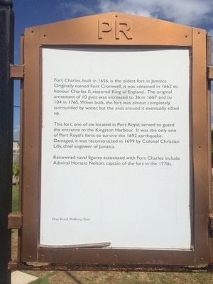
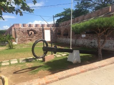
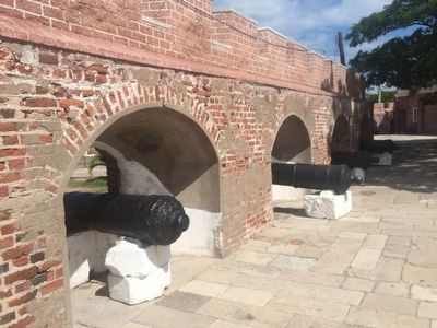
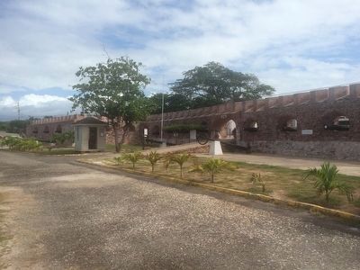
Fort Charles, built in 1656, is the oldest fort in Jamaica. Originally named Fort Cromwell, it was renamed in 1662 to honour Charles II, restored King of England. The original armament of 10 guns was increased to 36 in 1667 and to 104 in 1765. When built, the fort was almost completely surrounded by water, but the area around it eventually silted up.
This fort, one of six located in Port Royal, served to guard the entrance to the Kingston Harbour. It was the only one of Port Royal's forts to survive the 1692 earthquake. Damaged, it was reconstructed in 1699 by Colonel Christian Lilly, chief engineer of Jamaica.
Topics. This historical marker is listed in these topic lists: Forts and Castles • Man-Made Features. A significant historical year for this entry is 1656.
Location. 17° 56.115′ N, 76° 50.552′ W. Marker is in Port Royal, Kingston Parish. Marker can be reached from Tower Street. The marker is to the left of the main entrance to Fort Charles in Port Royal. Touch for map. Touch for directions.
Other nearby markers. At least 8 other markers are within walking distance of this marker. Horatio Nelson in Jamaica (within shouting distance of this marker); The 1907 and 1957 Jamaica Earthquakes (within shouting distance of this marker); H.M.S. "Aboukir" (within shouting distance of this marker); St. Peter's Church (approx. 0.2 kilometers away); Lucas Barrett (approx. 0.3 kilometers away); The Historic Royal Naval Hospital (approx. 0.3 kilometers away); Welcome to Port Royal (approx. 0.4 kilometers away); 'Ye Olde Parade Bar' (approx. 0.4 kilometers away). Touch for a list and map of all markers in Port Royal.
Credits. This page was last revised on February 12, 2022. It was originally submitted on January 16, 2016, by J. Makali Bruton of Accra, Ghana. This page has been viewed 897 times since then and 61 times this year. Photos: 1, 2, 3. submitted on January 16, 2016, by J. Makali Bruton of Accra, Ghana. 4. submitted on January 30, 2016, by J. Makali Bruton of Accra, Ghana.


