Marker Logo HMdb.org THE HISTORICAL
MARKER DATABASE
“Bite-Size Bits of Local, National, and Global History”
Gunnison in Gunnison County, Colorado — The American Mountains (Southwest)
 

Black Canyon of the Gunnison National Park

South Rim-Tomichi Point


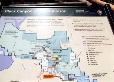
Black Canyon of the Gunnison National Park Marker image. Click for full size.
Photographed By Don Morfe, July 22, 2005
1. Black Canyon of the Gunnison National Park Marker
Inscription. Welcome to the south rim of the Black Canyon. The view here at Tomichi Point is just a sample of the spectacular scenery that is ahead. There are eleven more viewpoints between here and the end of the road at High Point, six miles away. Some of the most amazing views await you.
 
Erected by National Park Service, U.S. Department of the Interior.
 
Topics. This historical marker is listed in this topic list: Landmarks.
 
Location. 38° 33.032′ N, 107° 41.197′ W. Marker is in Gunnison, Colorado, in Gunnison County. Marker is on Rim Drive (CO 347). Touch for map. Marker is in this post office area: Gunnison CO 81230, United States of America. Touch for directions.
 
Other nearby markers. At least 8 other markers are within 11 miles of this marker, measured as the crow flies. Pegmatite Dikes (approx. 0.3 miles away); Early Exploration (approx. 2.6 miles away); Light at the End of the Tunnel (approx. 2.6 miles away); Building a Dam (approx. 2.6 miles away); The Painted Wall (approx. 2.7 miles away); All Aboard (approx. 10.1 miles away); Narrow Path to Prosperity (approx. 10.3 miles away); Working on the Railroad (approx. 10.3 miles away).
 
Paid Advertisement
Click on the ad for more information.
Please report objectionable advertising to the Editor.
Click or scan to see
this page online
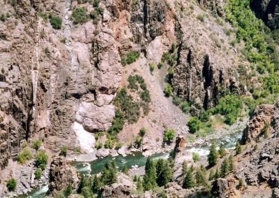
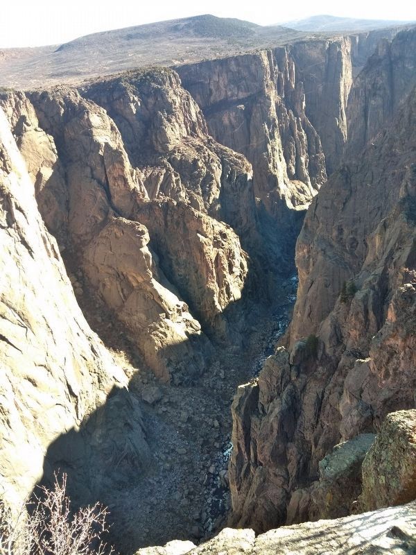
Black Canyon of the Gunnison National Park image. Click for full size.
Photographed By Don Morfe, July 22, 2005
2. Black Canyon of the Gunnison National Park
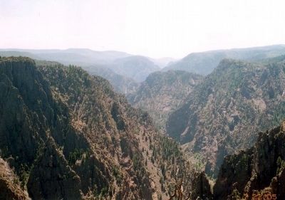
Black Canyon of the Gunnison National Park image. Click for full size.
Photographed By Don Morfe, July 22, 2005
3. Black Canyon of the Gunnison National Park
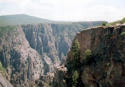
Black Canyon of the Gunnison National Park image. Click for full size.
Photographed By Don Morfe, July 22, 2005
4. Black Canyon of the Gunnison National Park
Black Canyon of the Gunnison National Park image. Click for full size.
Photographed By Don Morfe, July 22, 2005
5. Black Canyon of the Gunnison National Park
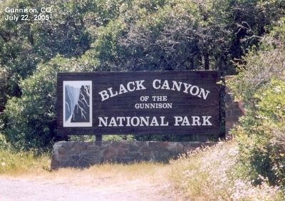
Black Canyon of the Gunnison National Park-Sign at the entrance to the park image. Click for full size.
Photographed By Don Morfe, July 22, 2005
6. Black Canyon of the Gunnison National Park-Sign at the entrance to the park
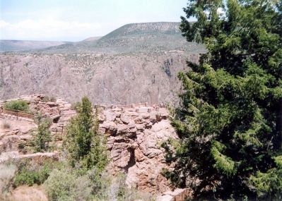
Black Canyon of the Gunnison image. Click for full size.
Photographed By Mandy Kirby
7. Black Canyon of the Gunnison
 
 
Credits. This page was last revised on December 23, 2018. It was originally submitted on February 22, 2016, by Don Morfe of Baltimore, Maryland. This page has been viewed 680 times since then and 9 times this year. Photos:   1, 2, 3, 4, 5, 6. submitted on February 22, 2016, by Don Morfe of Baltimore, Maryland.   7. submitted on December 21, 2018, by Mandy Kirby of Clovis, California. • Bill Pfingsten was the editor who published this page.
 
Editor’s want-list for this marker. Cleared photo of entire marker, marker in context with surrounding area. • Can you help?
Share this page.  
Share on Tumblr
m=92693

CeraNet Cloud Computing sponsors the Historical Marker Database.
This website earns income from purchases you make after using our links to Amazon.com. We appreciate your support.
Paid Advertisement
Apr. 18, 2024