West End in New Orleans in Orleans Parish, Louisiana — The American South (West South Central)
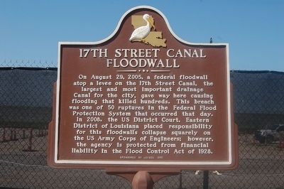
17th Street Canal Floodwall
Erected by Levees.org.
Topics. This historical marker is listed in these topic lists: Charity & Public Work • Disasters • Waterways & Vessels. A significant historical date for this entry is August 29, 2005.
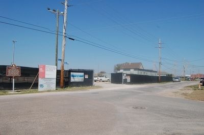
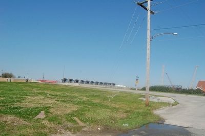
Location. 30° 1.066′ N, 90° 7.235′ W. Marker is in New Orleans, Louisiana, in Orleans Parish. It is in West End. Marker is at the intersection of Bellaire Drive and Stafford Place, on the right when traveling south on Bellaire Drive. Touch for map. Marker is in this post office area: Metairie LA 70005, United States of America. Touch for directions.
Other nearby markers. At least 8 other markers are within 3 miles of this marker, measured as the crow flies. New Basin Canal (approx. ¾ mile away); Southern Yacht Club (approx. 0.8 miles away); Lakefront "Seawall" (approx. 0.8 miles away); The Point (approx. 0.8 miles away); Lake Pontchartrain and the Pontchartrain Basin (approx. 0.8 miles away); Lake Pontchartrain (approx. 1.4 miles away); Jefferson Parish (approx. 2.1 miles away); Fort St. John (approx. 2.2 miles away). Touch for a list and map of all markers in New Orleans.
Credits. This page was last revised on February 12, 2023. It was originally submitted on March 7, 2016. This page has been viewed 997 times since then and 103 times this year. Photos: 1, 2, 3. submitted on March 7, 2016. • Bernard Fisher was the editor who published this page.


