Near Arco in Butte County, Idaho — The American West (Mountains)
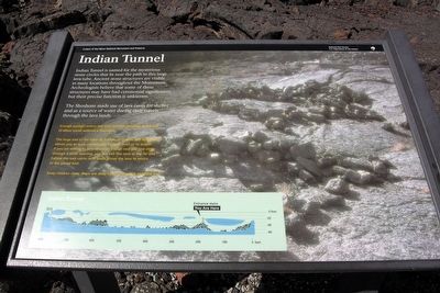
Indian Tunnel
Craters of the Moon National Monument and Preserve
The Shoshone made use of lava caves for shelter and as a source of water during their travels through the lava lands.
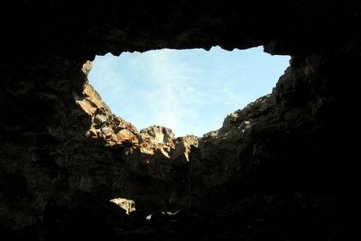
Enough sunlight enters this cave through openings in the roof to allow travel without a flashlight.
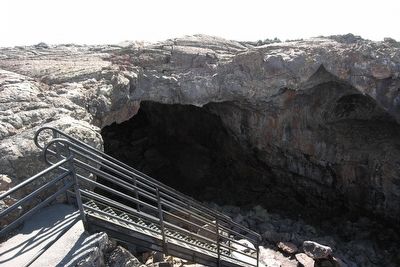
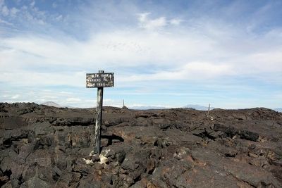
The large size of the tube—30 ft high, 50 ft wide and 800 ft long—allows you to walk comfortably through most of its length. If you are willing to scramble over a large rock pile and climb through a small opening, you can exit this cave at the far end. Follow the rock cairns with posts across the lava to return to the paved trail.
Keep children close; there are deep holes in the rock near the trail.
Erected by National Park Service.
Topics. This historical marker is listed in this topic list: Natural Features.
Location. 43° 26.555′ N, 113° 31.789′ W. Marker is near Arco, Idaho, in Butte County. Marker can be reached from U.S. 20. Marker is located in Craters of the Moon National Monument and Preserve. Touch for map. Marker is in this post office area: Arco ID 83213, United States of America. Touch for directions.
Other nearby markers. At least 8 other markers are within 2 miles of this marker, measured as the crow flies. Boy Scout Cave (approx. ¼ mile away); Devil's Orchard Trail (approx. ¾ mile away); Are We Loving Them to Death? (approx. 1.4 miles away); North Crater Lava Flow (approx. 1.8 miles away); North Crater Flow Trail (approx. 1.8 miles away); Vanishing Landmark (approx. 2.1 miles away); Get over it! (approx. 2.1 miles away); Just Down The Road (approx. 2.1 miles away). Touch for a list and map of all markers in Arco.
More about this marker. Marker is located at the entrance to Indian Tunnel on the Caves Trail. The trail is accessed from the Caves Area parking lot on the Loop Road.
Also see . . . Craters of the Moon National Monument and Preserve. Official National Park Service website. (Submitted on March 10, 2016.)
Credits. This page was last revised on October 12, 2021. It was originally submitted on March 10, 2016, by Duane Hall of Abilene, Texas. This page has been viewed 499 times since then and 15 times this year. Last updated on October 10, 2021, by McGhiever of Minneapolis, Minnesota. Photos: 1, 2, 3, 4. submitted on March 10, 2016, by Duane Hall of Abilene, Texas. • J. Makali Bruton was the editor who published this page.


