Lake Shore - Lake Vista in New Orleans in Orleans Parish, Louisiana — The American South (West South Central)
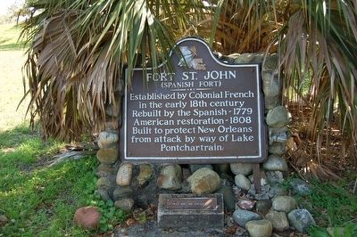
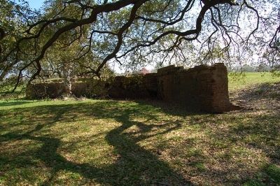
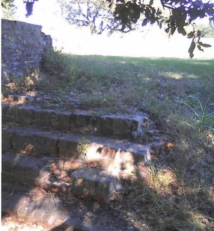
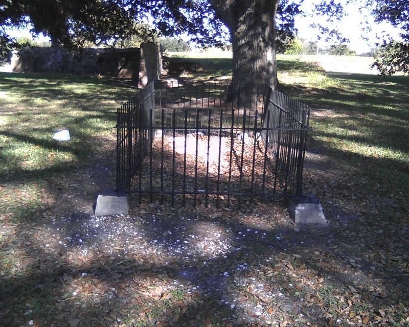
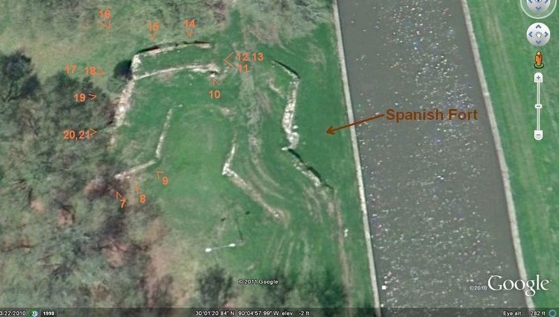
Fort St. John
(Spanish Fort)
Established by Colonial French in the early 18th century
Rebuilt by the Spanish-1779
American restoration-1808
Built to protect New Orleans from attack by way of Lake Ponchartrain.
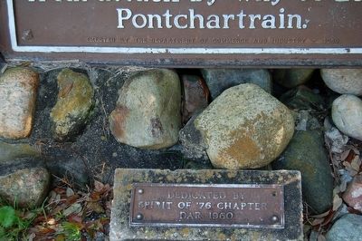
(lower plaque)
Spirit of '76 Chapter
DAR 1960
Erected 1960 by Department of Commerce and Industry.
Topics and series. This historical marker is listed in these topic lists: Colonial Era • Forts and Castles • Settlements & Settlers. In addition, it is included in the Daughters of the American Revolution series list.
Location. 30° 1.357′ N, 90° 5.017′ W. Marker is in New Orleans, Louisiana, in Orleans Parish. It is in Lake Shore - Lake Vista. Marker is on Beauregard Avenue north of Jay Street, on the right when traveling north. Touch for map. Marker is in this post office area: New Orleans LA 70124, United States of America. Touch for directions.
Other nearby markers. At least 8 other markers are within 2 miles of this marker, measured as the crow flies. Lake Pontchartrain (approx. 1.1 miles away); London Avenue Canal Floodwall Breach (approx. 1.4 miles away); Lakefront "Seawall" (approx. 1.8 miles away); New Basin Canal (approx. 1.8 miles away); Lake Pontchartrain and the Pontchartrain Basin (approx. 1.8 miles away); The Point (approx. 1.8 miles away); Southern Yacht Club (approx. 1.8 miles away); Brothers Of The Sacred Heart (approx. 2 miles away). Touch for a list and map of all markers in New Orleans.
Also see . . .
1. Spanish Fort (New Orleans). Wikipedia entry (Submitted on May 22, 2023, by Larry Gertner of New York, New York.)
2. Fort St. John is another ABANDONED Louisiana fort. YouTube video of drone flyover of Fort St. John (2m 6s). (Submitted on January 22, 2018, by Kenneth Ramagost of Unknown, Louisiana.)
Credits. This page was last revised on May 22, 2023. It was originally submitted on March 15, 2016. This page has been viewed 980 times since then and 47 times this year. Last updated on January 30, 2018. Photos: 1, 2, 3, 4, 5. submitted on March 15, 2016. 6, 7, 8. submitted on January 21, 2018, by Kenneth Ramagost of Unknown, Louisiana. • Andrew Ruppenstein was the editor who published this page.
