Near Schuylerville in Saratoga County, New York — The American Northeast (Mid-Atlantic)
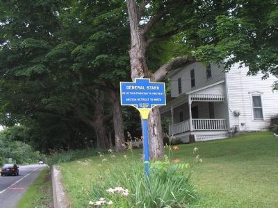
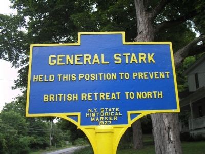
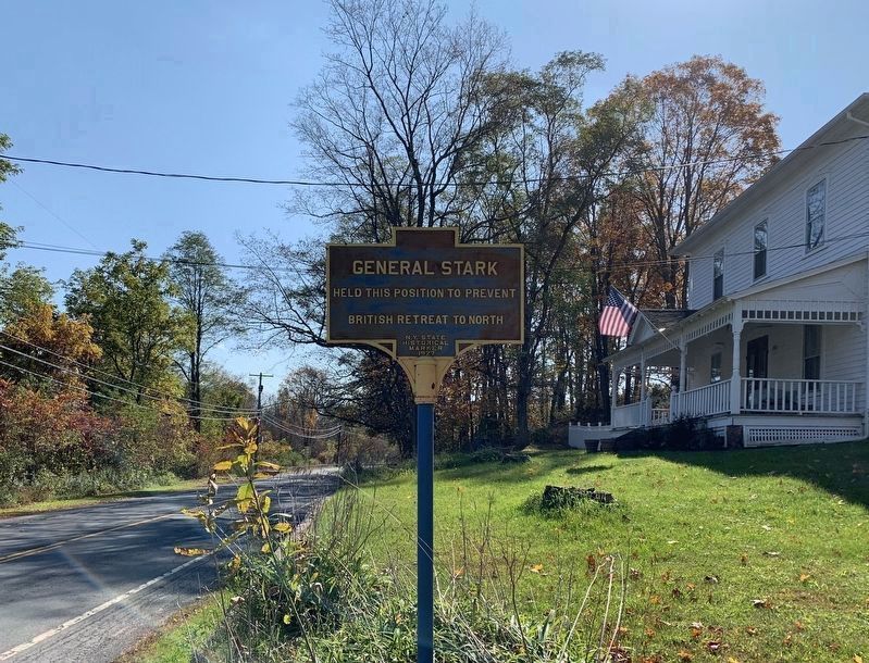
General Stark
held this position to prevent
British retreat to north.
Erected 1927 by State of New York.
Topics. This historical marker is listed in these topic lists: Military • Notable Events • War, US Revolutionary.
Location. 43° 7.236′ N, 73° 35.194′ W. Marker is near Schuylerville, New York, in Saratoga County. Marker is on Lakes to Locks Passage (U.S. 4) north of Starks Knob Road, on the left when traveling north. Touch for map. Marker is in this post office area: Schuylerville NY 12871, United States of America. Touch for directions.
Other nearby markers. At least 8 other markers are within walking distance of this marker. Train of Artillery (2007) (about 800 feet away, measured in a direct line); Lakes to Locks Passage (approx. 0.2 miles away); Gen. Henry Knox Trail (approx. 0.2 miles away); Stark’s Knob (approx. 0.2 miles away); Northumberland: A Thriving Canal Community (approx. 0.2 miles away); World War I and II and Korean Conflict Memorial (approx. 0.3 miles away); Position of Burgoyne's Bridge (approx. 0.6 miles away); British Army Camp (approx. 0.7 miles away). Touch for a list and map of all markers in Schuylerville.
Also see . . .
1. Battle of Saratoga. Saratoga County Chamber of Commerce website entry (Submitted on August 15, 2022, by Larry Gertner of New York, New York.)
2. The Battle of Saratoga 1777. A British perspective on the Battle of Saratoga from BritishBattles.com (Submitted on July 19, 2008, by Bill Coughlin of Woodland Park, New Jersey.)

Photographed By Bill Coughlin, July 13, 2008
2. Marker at Starks Knob Road
With General John Starks' troops blocking the escape route to the north, British General John Burgoyne's Army was forced to remain in Schuylerville, and eventually surrender to American General Horatio Gates on October 17, 1777. Many consider this event to be the turning point of the American Revolution.
Credits. This page was last revised on August 15, 2022. It was originally submitted on July 19, 2008, by Bill Coughlin of Woodland Park, New Jersey. This page has been viewed 1,210 times since then and 49 times this year. Last updated on February 6, 2019, by Steve Stoessel of Niskayuna, New York. Photos: 1, 2. submitted on July 19, 2008, by Bill Coughlin of Woodland Park, New Jersey. 3. submitted on October 16, 2019, by Steve Stoessel of Niskayuna, New York. • Bill Pfingsten was the editor who published this page.

