Delaware in Delaware County, Ohio — The American Midwest (Great Lakes)
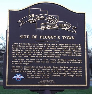
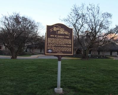
Site of Pluggy's Town
The village was made up of some twenty dwellings including long houses and wigwams. There was one cabin belonging to a blacksmith of French origin.
The British Commander at Fort Detroit, Henry Hamilton, had won the support of Pluggy and his warriors and convinced them to attack settlers living east and south of the Ohio River. Chief Pluggy was killed on January 1, 1777, while leading such an attack on McClellan's Station, Kentucky. This village moved further north in 1778.
Erected 2008 by The Delaware County Historical Society, The Kroger Company, and the National City Bank.
Topics and series. This historical marker is listed in these topic lists: Native Americans • Settlements & Settlers • War, US Revolutionary . In addition, it is included in the Ohio, Delaware County Historical Society series list.
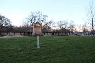
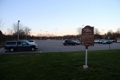
Location. 40° 18.322′ N, 83° 3.743′ W. Marker is in Delaware, Ohio, in Delaware County. Marker is on East Lincoln Avenue east of Blymer Street, on the left when traveling east. This marker is situated near the parking lot for a municipal recreational park, that is located about 4 blocks east of the intersection of Sandusky Street (the old U.S. 23) and East Lincoln Avenue. Touch for map. Marker is at or near this postal address: 500 East Lincoln Avenue, Delaware OH 43015, United States of America. Touch for directions.
Other nearby markers. At least 8 other markers are within walking distance of this marker. Cornstalk's Visit and the Negotiators' Escape (here, next to this marker); Delaware County War on Terrorism Memorial (approx. 0.4 miles away); Dedicated to the Korea and Vietnam Veterans (approx. 0.4 miles away); Opperation Desert Shield - Desert Storm (approx. 0.4 miles away); Delaware County Civil War Memorial (approx. 0.4 miles away); Co-Founders of Delaware, Ohio (approx. 0.4 miles away); Delaware County World War II Memorial (approx. 0.4 miles away); Delaware County World War I Memorial (approx. 0.4 miles away). Touch for a list and map of all markers in Delaware.
More about this marker. This marker is situated
just north of where Lincoln Avenue ends, at the entrance to a municipal recreational park, that includes the Jack Florance Pool along with several facility buildings. The marker and municipal recreational park are wedged in between U.S. 23 and the Olentangy River.
Credits. This page was last revised on June 16, 2016. It was originally submitted on March 23, 2016, by Dale K. Benington of Toledo, Ohio. This page has been viewed 1,454 times since then and 75 times this year. Photos: 1, 2, 3, 4. submitted on March 23, 2016, by Dale K. Benington of Toledo, Ohio.


