Near Borger in Hutchinson County, Texas — The American South (West South Central)
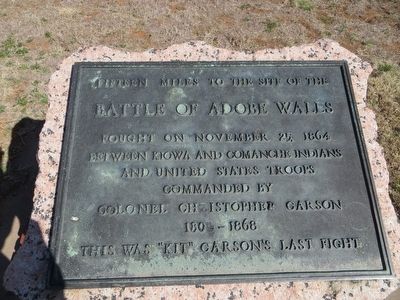
Battle of Adobe Walls
Battle of Adobe Walls
Fought on November 25, 1864
between Kiowa and Comanche Indians
and United States troops
commanded by
Colonel Christopher Carson
1809 – 1868
This was "Kit" Carson's last fight
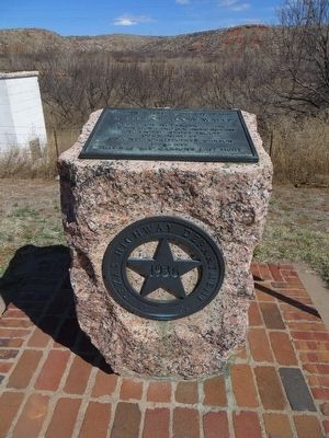
Erected 1936 by Texas Highway Department. (Marker Number 319.)
Topics and series. This historical marker is listed in these topic lists: War, US Civil • Wars, US Indian. In addition, it is included in the Texas 1936 Centennial Markers and Monuments series list. A significant historical date for this entry is November 25, 1864.
Location. 35° 44.646′ N, 101° 25.057′ W. Marker is near Borger, Texas, in Hutchinson County. Marker is on State Highway 152, half a mile north of County Route 13, on the right when traveling north. Touch for map. Marker is in this post office area: Borger TX 79007, United States of America. Touch for directions.
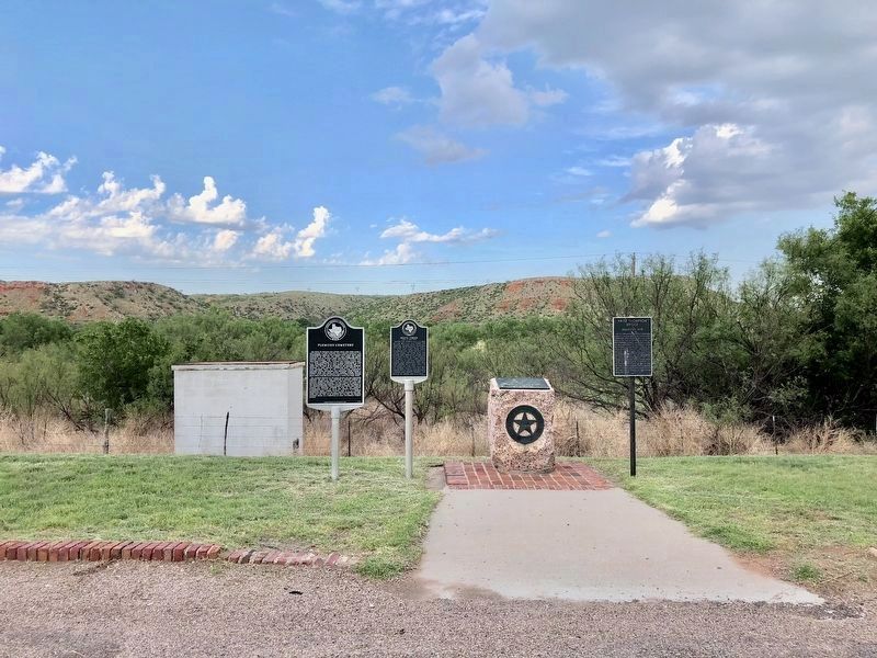
Other nearby markers. At least 8 other markers are within 6 miles of this marker, measured as the crow flies. Bents Creek (here, next to this marker); Fritz Thompson Bridge (here, next to this marker); Plemons Cemetery (here, next to this marker); Gulf Dial #1 Oil Well (approx. 3.4 miles away); Booker T. Washington School (approx. 4.8 miles away); Ace Borger Home (approx. 5 miles away); East Ward Elementary School (approx. 5 miles away); Allis-Chalmers/Cooper Winch Tractor (approx. 5.2 miles away). Touch for a list and map of all markers in Borger.
Credits. This page was last revised on June 27, 2018. It was originally submitted on March 24, 2016, by Bill Kirchner of Tucson, Arizona. This page has been viewed 926 times since then and 133 times this year. Photos: 1, 2. submitted on March 24, 2016, by Bill Kirchner of Tucson, Arizona. 3. submitted on June 27, 2018, by Mark Hilton of Montgomery, Alabama.


