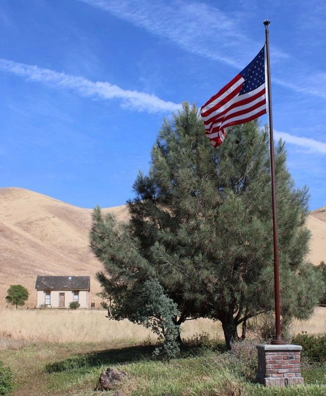
Near Antioch in Contra Costa County, California — The American West (Pacific Coastal)
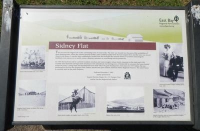
Sidney Flat
Photographed By Barry Swackhamer, March 31, 2016
1. Sidney Flat Marker
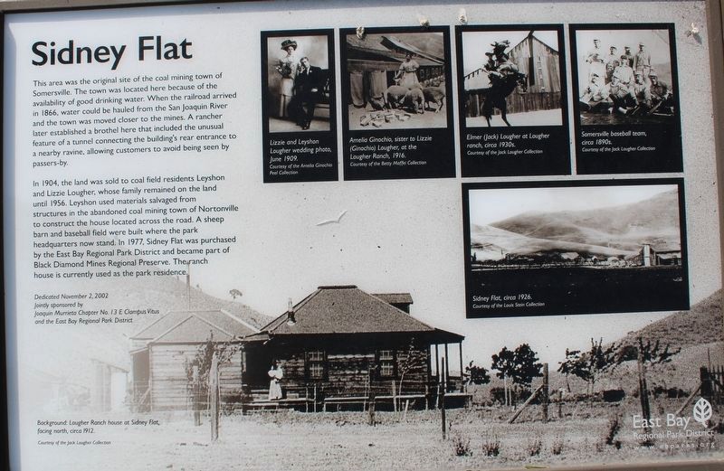
Captions: middle left) Somesrville baseball team, circa 1902.; (bottom left) Lougher Ranch house at Sidney Flat, facing north, circa 1912.; (bottom center) Elmer (Jack) Lougher at Lougher ranch, circa 1930s.; (bottom center) Sidney Flat, circa 1926.; (bottom right) Amelia Ginochio, sister to Lizzie (Ginochio) Lougher, at the Lougher Ranch, 1916.; (middle right) Lizzie and Leyshon Lougher wedding photo, June 1909.
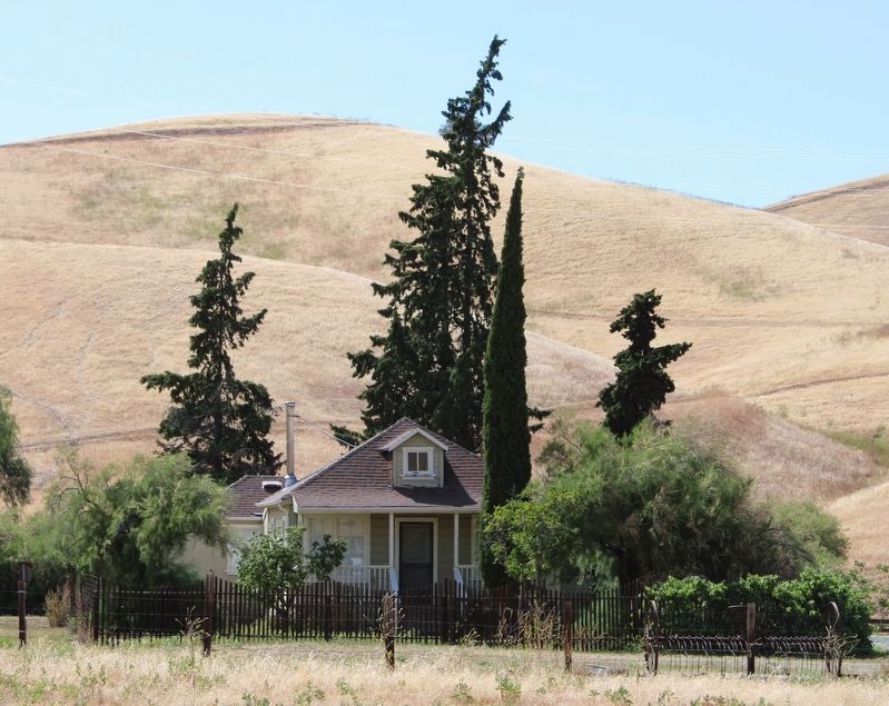
In 1904 the land was sold to coal field residents Leyshon and Lizzie Lougher whose family remained on the land until 1956. Leyshon used materials salvaged from structures in the abandoned coal mining town of Nortonville to construct the house located across the road. A sheep barn and baseball field were built where the park headquarters now stand. In 1977 Sidney Flats was purchased by the East Bay Regional Park District and became part of the Black Diamond Mines Regional Preserve. The ranch house is currently used as the park residence.
Erected 2002 by E Clampus Vitus, Joaquin Murrieta Chapter No. 13 and the East Bay Regional Park District.
Topics and series. This historical marker is listed in these topic lists: Industry & Commerce • Settlements & Settlers . In addition, it is included in the E Clampus Vitus series list.
Location. 37° 58.289′ N, 121° 51.729′ W. Marker is near Antioch, California, in Contra Costa County. Marker is on Somersville Road, on the left when traveling south. Touch for map. Marker is at or near this postal address: 5175 Somersville Road, Antioch CA 94509, United States of America. Touch for directions.
Other nearby markers. At least 8 other markers are within 2 miles of this marker, measured as the crow flies. Independent Mine (approx. 0.9 miles away); Black Diamond Mines Regional Preserve (approx. 0.9 miles away); Mount Diablo Coal Field (approx. 0.9 miles away); Somersville Townsite (approx. one mile away); Rose Hill Cemetery (approx. one mile away); David Watts, Theophilus Watts and Thomas D. James (approx. 1.1 miles away); Greathouse Portal (approx. 1.2 miles away); a different marker also named Mount Diablo Coal Field (approx. 1.2 miles away). Touch for a list and map of all markers in Antioch.
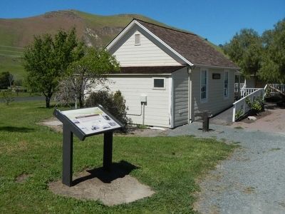
More about this marker. This marker is located at the park visitors center near the entrance to Black Diamonds Regional Park.
Additional commentary.
1. The marker was replaced
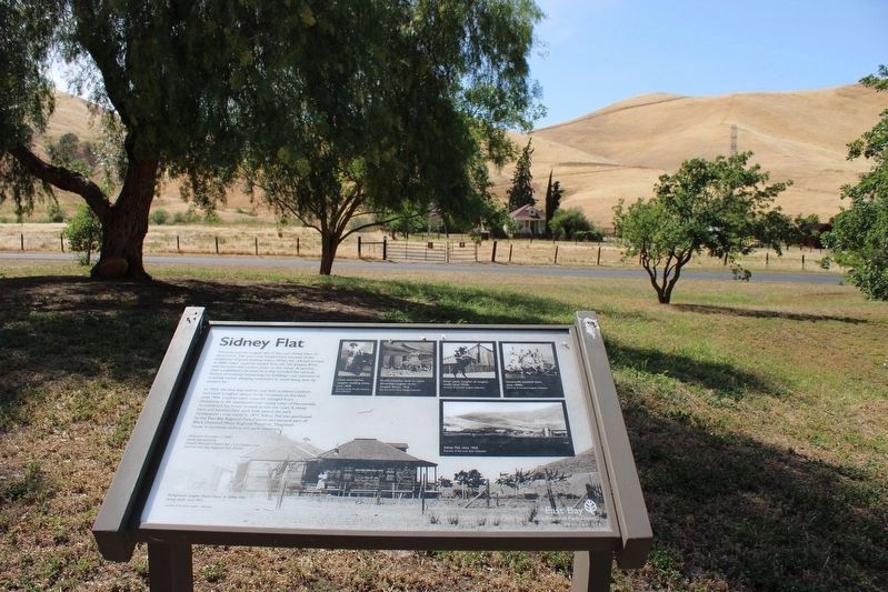
There is a new marker with a different format, but the same text and pictures.
— Submitted May 10, 2022, by Joseph Alvarado of Livermore, California.
Additional keywords. prostitution
Credits. This page was last revised on May 15, 2022. It was originally submitted on April 4, 2016, by Barry Swackhamer of Brentwood, California. This page has been viewed 617 times since then and 41 times this year. Photos: 1. submitted on April 4, 2016, by Barry Swackhamer of Brentwood, California. 2. submitted on May 10, 2022, by Joseph Alvarado of Livermore, California. 3. submitted on April 4, 2016, by Barry Swackhamer of Brentwood, California. 4. submitted on May 10, 2022, by Joseph Alvarado of Livermore, California. 5. submitted on May 14, 2022, by Joseph Alvarado of Livermore, California. 6. submitted on May 10, 2022, by Joseph Alvarado of Livermore, California.
