Near Antioch in Contra Costa County, California — The American West (Pacific Coastal)
Independent Mine
Inscription.
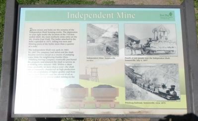
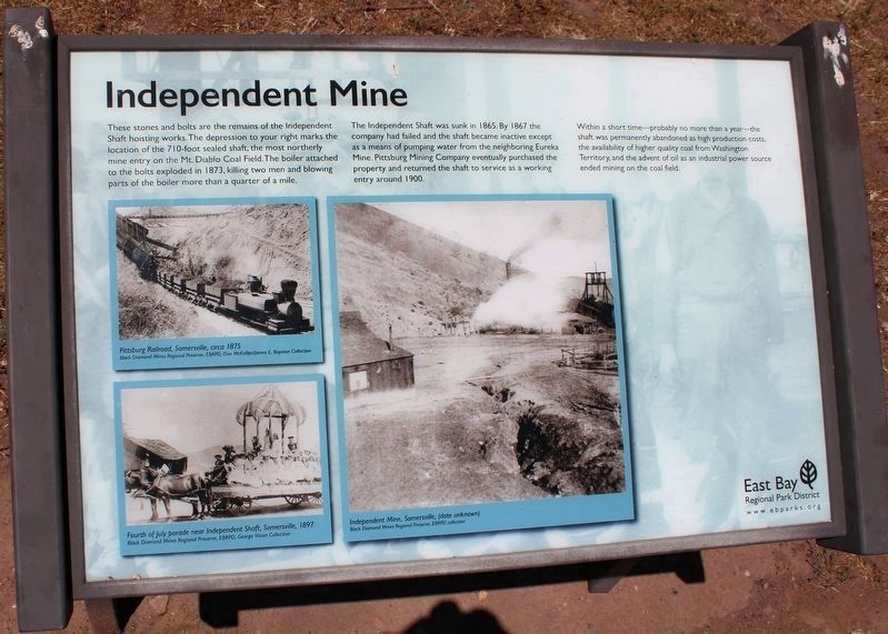
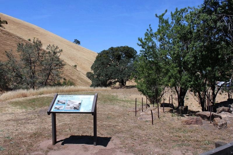
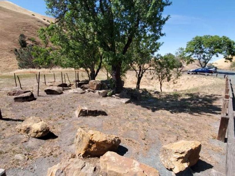
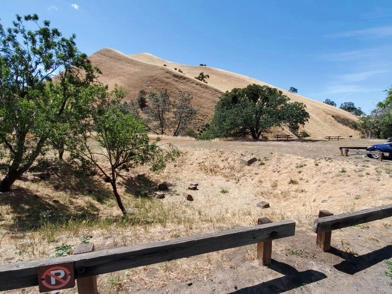
These stones and bolts are the remains of the Independent Shaft hoist works. The depression to your right marks the location of the 710-foot sealed shaft, the most northerly mine entry on the Mt. Diablo Coal Field. The boiler attached to the bolts exploded in 1873, killing two men and blowing pats of the boiler more than a quarter of a mile.
The Independent Shaft was sunk in 1865. By 1867 the company had failed and the shaft became inactive except as a means of pumping water from the neighboring Eureka Mine. Pittsburg Mining Company eventually purchased the property and returned the shaft to service as a working entry around 1900. Within a short time - probably no more than a year - the shaft was permanently abandoned as high production costs, the availability of higher quality coal from Washington Territory, and the advent of oil as an industrial power source ended mining on the ? (Mt Diablo Coal Field?)
Erected by East Bay Regional Park District.
Topics. This historical marker is listed in this topic list: Industry & Commerce. A significant historical year for this entry is 1873.
Location. 37° 57.514′ N, 121° 51.807′ W. Marker is near Antioch, California, in Contra Costa County. Marker is on Somersville Road. Touch for map. Marker is at or near this postal address: 5175 Somersville Road, Antioch CA 94509, United States of America. Touch for directions.
Other nearby markers. At least 8 other markers are within walking distance of this marker. Black Diamond Mines Regional Preserve (within shouting distance of this marker); Mount Diablo Coal Field (within shouting distance of this marker); Somersville Townsite (about 400 feet away, measured in a direct line); Greathouse Portal (approx. ¼ mile away); a different marker also named Mount Diablo Coal Field (approx. 0.3 miles away); Eureka Slope (approx. 0.3 miles away); Rose Hill Cemetery (approx. 0.4 miles away); David Watts, Theophilus Watts and Thomas D. James (approx. 0.4 miles away). Touch for a list and map of all markers in Antioch.
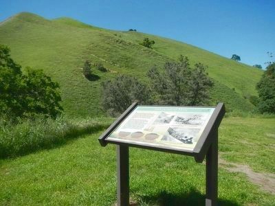
More about this marker. This marker is located on the west site of the parking lot located at the southern end of Somersville Road in Black Diamond Regional Park.
Additional commentary.
1. New Independent Mine Marker
The marker is been replaced. The new marker has a different format with the same text and pictures.
— Submitted May 10, 2022, by Joseph Alvarado of Livermore, California.
Credits. This page was last revised on June 11, 2022. It was originally submitted on April 4, 2016, by Barry Swackhamer of Brentwood, California. This page has been viewed 344 times since then and 13 times this year. Photos: 1. submitted on April 4, 2016, by Barry Swackhamer of Brentwood, California. 2. submitted on May 10, 2022, by Joseph Alvarado of Livermore, California. 3. submitted on April 4, 2016, by Barry Swackhamer of Brentwood, California. 4. submitted on May 10, 2022, by Joseph Alvarado of Livermore, California. 5, 6. submitted on May 23, 2022, by Joseph Alvarado of Livermore, California.
