Shrewsbury in Monmouth County, New Jersey — The American Northeast (Mid-Atlantic)
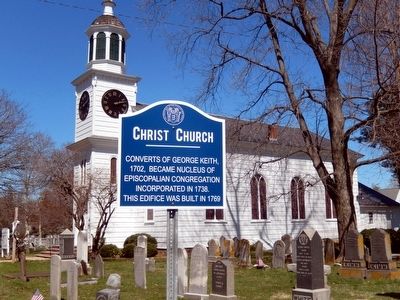
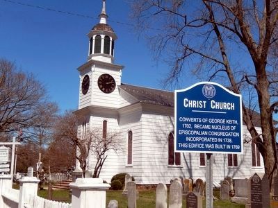
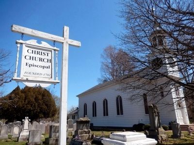
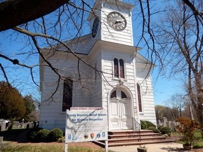
Christ Church
Erected by The State of New Jersey.
Topics. This historical marker is listed in this topic list: Churches & Religion. A significant historical year for this entry is 1702.
Location. 40° 19.411′ N, 74° 3.679′ W. Marker is in Shrewsbury, New Jersey, in Monmouth County. Marker is at the intersection of Broad Street and Sycamore Avenue on Broad Street. Touch for map. Marker is in this post office area: Shrewsbury NJ 07702, United States of America. Touch for directions.
Other nearby markers. At least 8 other markers are within one mile of this marker, measured as the crow flies. Shrewsbury Historic District (within shouting distance of this marker); Patriot Isle (within shouting distance of this marker); This Sycamore (within shouting distance of this marker); Christopher Reynolds (within shouting distance of this marker); Quaker Meeting (within shouting distance of this marker); Harriet LaFetra (1823-1906) (about 400 feet away, measured in a direct line); September 11 Memorial (about 600 feet away); Battle of the Bulge Monument (approx. one mile away). Touch for a list and map of all markers in Shrewsbury.
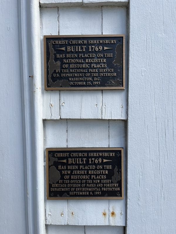
Photographed By Devry Becker Jones (CC0), October 29, 2022
5. State and National Registers of Historic Places plaques on the church building
Credits. This page was last revised on November 1, 2022. It was originally submitted on April 9, 2016, by Don Morfe of Baltimore, Maryland. This page has been viewed 331 times since then and 18 times this year. Photos: 1, 2, 3, 4. submitted on April 9, 2016, by Don Morfe of Baltimore, Maryland. 5. submitted on November 1, 2022, by Devry Becker Jones of Washington, District of Columbia. • Bill Pfingsten was the editor who published this page.
