Near Panhandle in Carson County, Texas — The American South (West South Central)
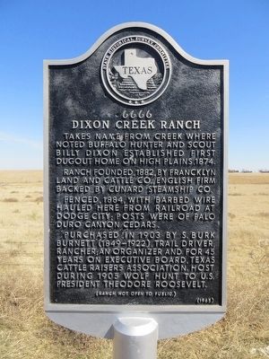
6666 Dixon Creek Ranch
Takes name from creek where noted buffalo hunter and scout Billy Dixon established first dugout home on High Plains, 1874.
Ranch founded, 1882, by Francklyn Land and Cattle Co., English firm backed by Cunard Steamship Co.
Fenced, 1884, with barbed wire hauled here from railroad at Dodge City; posts were of Palo Duro Canyon cedars.
Purchased in 1903 by S. Burk Burnett (1849-1922), trail driver, rancher; an organizer and for 45 years on executive board, Texas Cattle Raisers Association. Host during 1905 wolf hunt to U.S. President Theodore Roosevelt.
Erected 1965 by State Historical Survey Committee. (Marker Number 42.)
Topics and series. This historical marker is listed in these topic lists: Agriculture • Animals. In addition, it is included in the Former U.S. Presidents: #26 Theodore Roosevelt series list. A significant historical year for this entry is 1882.
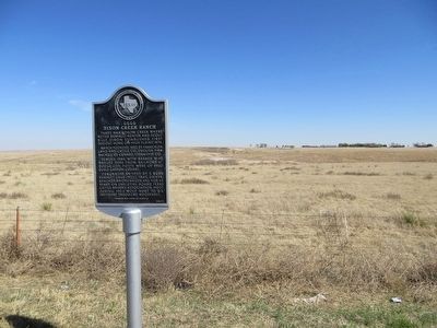
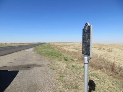
Location. 35° 32.485′ N, 101° 24.166′ W. Marker is near Panhandle, Texas, in Carson County. Marker is on State Highway 207, half a mile north of Four Sixes Road, on the right when traveling north. Touch for map. Marker is in this post office area: Panhandle TX 79068, United States of America. Touch for directions.
Other nearby markers. At least 8 other markers are within 9 miles of this marker, measured as the crow flies. Gulf Burnett No. 2 (approx. 4.3 miles away); First Rotary Drilling Rig Used in Texas Panhandle (approx. 4.3 miles away); Fort Smith-Santa Fe Trail (approx. 7.8 miles away); Beale Road (approx. 7.8 miles away); Site of John and Maggie Weatherly Half-Dugout Site (approx. 8 miles away); Girl Scout Little House (approx. 8.7 miles away); First Methodist Church of Borger (approx. 8.7 miles away); Quanah Parker Trail (approx. 9.1 miles away). Touch for a list and map of all markers in Panhandle.
Credits. This page was last revised on July 31, 2020. It was originally submitted on April 10, 2016, by Bill Kirchner of Tucson, Arizona. This page has been viewed 690 times since then and 50 times this year. Photos: 1, 2, 3. submitted on April 10, 2016, by Bill Kirchner of Tucson, Arizona.


