Black Rock in Buffalo in Erie County, New York — The American Northeast (Mid-Atlantic)
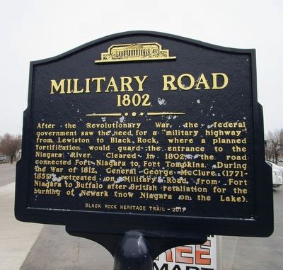
Military Road
1802
1802
—— ·•· ——
Erected 2011 by Black Rock Heritage Trail.
Topics. This historical marker is listed in these topic lists: Roads & Vehicles • War of 1812. A significant historical year for this entry is 1802.
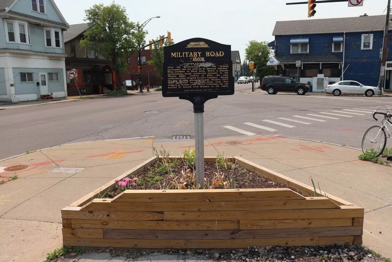
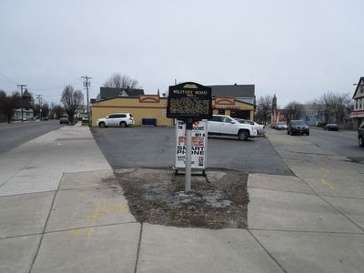
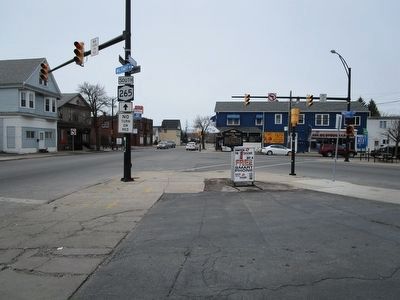
Location. 42° 56.228′ N, 78° 53.596′ W. Marker is in Buffalo, New York, in Erie County. It is in Black Rock. Marker is at the intersection of Military Road (New York State Route 265) and Amherst Street, on the left when traveling south on Military Road. Touch for map. Marker is at or near this postal address: 282 Amherst Street, Buffalo NY 14207, United States of America. Touch for directions.
Other nearby markers. At least 8 other markers are within walking distance of this marker. Battle of Scajaquada Creek Bridge (approx. 0.2 miles away); St. John's Church (approx. 0.4 miles away); Jacob Smith House and Tavern (approx. 0.4 miles away); Stephen W. Howell (approx. 0.4 miles away); Market Square (approx. half a mile away); Black Rock Harbor (approx. half a mile away); Black Rock (approx. half a mile away); a different marker also named Market Square (approx. half a mile away). Touch for a list and map of all markers in Buffalo.
More about this marker. The figure at the top of the marker is the Buffalo History Museum.
Related markers. Click here for a list of markers that are related to this marker. Markers for Black Rock, Fort Tompkins, Lewiston and Fort Niagara as in the marker text.
Credits. This page was last revised on June 27, 2023. It was originally submitted on April 10, 2016, by Anton Schwarzmueller of Wilson, New York. This page has been viewed 509 times since then and 32 times this year. Photos: 1. submitted on April 10, 2016, by Anton Schwarzmueller of Wilson, New York. 2. submitted on June 24, 2023, by Trevor L Whited of Kokomo, Indiana. 3, 4. submitted on April 10, 2016, by Anton Schwarzmueller of Wilson, New York.


