Stillwater in Saratoga County, New York — The American Northeast (Mid-Atlantic)
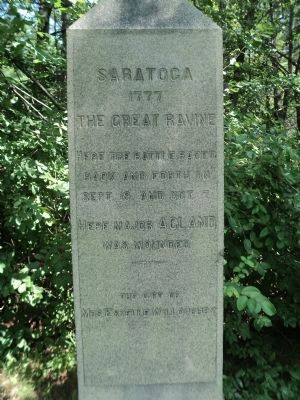
Saratoga 1777
The Great Ravine
back and forth on
Sept. 19 and Oct. 7.
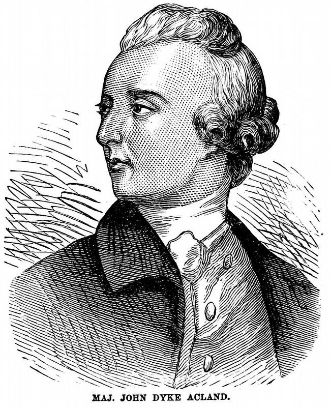
Here Major Acland
was wounded
----------
The gift of
Mrs Estelle Willoughby
Topics. This historical marker is listed in these topic lists: Landmarks • Notable Places • War, US Revolutionary. A significant historical month for this entry is September 1777.
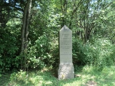
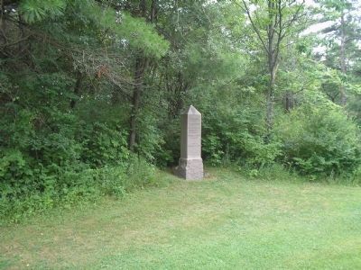
Location. 42° 59.851′ N, 73° 38.829′ W. Marker is in Stillwater, New York, in Saratoga County. Marker is on Park Tour Road, on the right when traveling north. Marker is in Saratoga National Historical Park,along the auto tour road. Touch for map. Marker is in this post office area: Stillwater NY 12170, United States of America. Touch for directions.
Other nearby markers. At least 8 other markers are within walking distance of this marker. A different marker also named Saratoga 1777 (about 400 feet away, measured in a direct line); Timothy Murphy (about 500 feet away); Rockefeller Memorial (about 500 feet away); a different marker also named Saratoga 1777 (about 700 feet away); New York and Massachusetts Forces (approx. 0.2 miles away); The Battle Begins at Barber’s Wheat Field (approx. ¼ mile away); General Fraser Was Struck (approx. ¼ mile away); Colonel Joseph Cilly (approx. ¼ mile away). Touch for a list and map of all markers in Stillwater.
Also see . . .
1. The Battle of Saratoga. Saratoga County Chamber of Commerce website entry (Submitted on March 28, 2022, by Larry Gertner of New York, New York.)
2. Saratoga National Historical Park. National Park Service. (Submitted on July 20, 2008, by Bill Coughlin of Woodland Park, New Jersey.)
3. A British perspective on the Battle of Saratoga from BritishBattles.com. (Submitted on July 17, 2013, by Bill Coughlin of Woodland Park, New Jersey.)
Internet Archive
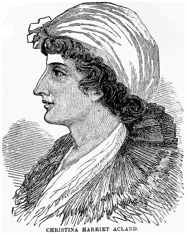
7. Christina Harriet Acland
“[Maj. Acland] was severely wounded shot through the legs and made a prisoner. Taken to the American headquarters on Bemis's Heights, his devoted wife, Lady Harriet, was permitted to pass through the lines and attend him. She was kindly received and treated by the American officers, and their bearing towards their wounded prisoners excited the major's gratitude and warm esteem.”
Harper's Encyclopædia of United States History from 458 A.D. to 1905 by Benson John Lossing and Woodrow Wilson 1905. Vol. 1, Page 15.
Credits. This page was last revised on March 28, 2022. It was originally submitted on July 20, 2008, by Bill Coughlin of Woodland Park, New Jersey. This page has been viewed 1,411 times since then and 22 times this year. Photos: 1, 2. submitted on July 17, 2013, by Bill Coughlin of Woodland Park, New Jersey. 3, 4, 5. submitted on July 20, 2008, by Bill Coughlin of Woodland Park, New Jersey. 6, 7. submitted on January 10, 2021, by Allen C. Browne of Silver Spring, Maryland.
