Kenner in Jefferson Parish, Louisiana — The American South (West South Central)
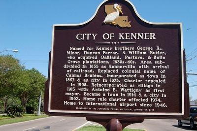
City of Kenner
Erected 2014 by Jefferson Parish Historical Commission.
Topics. This historical marker is listed in this topic list: Settlements & Settlers.
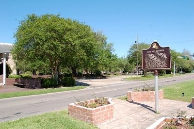
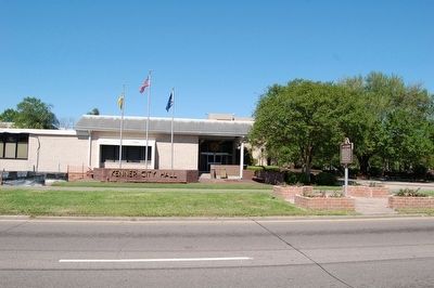
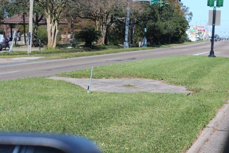
Location. Marker is missing. It was located near 29° 59.409′ N, 90° 14.518′ W. Marker was in Kenner, Louisiana, in Jefferson Parish. Marker was at the intersection of Williams Boulevard (State Highway 49) and West Metairie Avenue, in the median on Williams Boulevard. Located in front of Kenner City Hall. Touch for map. Marker was at or near this postal address: 1801 Williams Blvd, Kenner LA 70062, United States of America. Touch for directions.
Other nearby markers. At least 8 other markers are within walking distance of this location. United States Field Infantry World War II (about 400 feet away, measured in a direct line); World War I U.S. Army Doughboy (about 400 feet away); World War II U.S. Navy Seaman (about 500 feet away); Korean War U.S. Navy Nurse Corps (about 500 feet away); Gulf War United States Air Force (about 500 feet away); Vietnam War U.S. Marine Corps (about 500 feet away); City Of Kenner Vietnam Moving Wall (about 500 feet away); Douglas A-4 Skyhawk (about 500 feet away). Touch for a list and map of all markers in Kenner.
More about this marker. The small brick area in the median has been leveled.
Also see . . . City of Kenner. (Submitted on April 21, 2016.)
Credits. This page was last revised on September 22, 2023. It was originally submitted on April 20, 2016. This page has been viewed 604 times since then and 48 times this year. Photos: 1, 2, 3. submitted on April 20, 2016. 4. submitted on November 20, 2020, by Tim Fillmon of Webster, Florida. • Bernard Fisher was the editor who published this page.


