Lake George in Warren County, New York — The American Northeast (Mid-Atlantic)
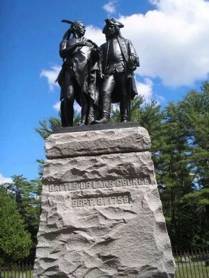
Battle of Lake George
Sept. 8, 1755
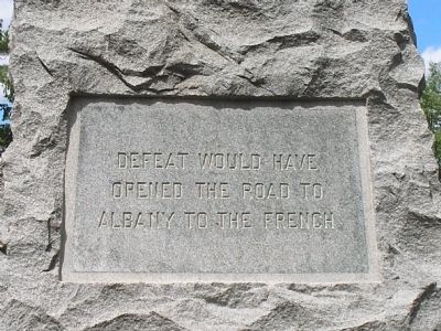
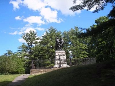
Right of Monument:
opened the road to
Albany to the French
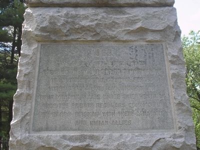
Back of Monument:
The Society of Colonial Wars
erected this monument to commemorate
the victory of the colonial forces
under General William Johnson and
their Mohawk allies under Chief Hendrick
over the French regulars commanded
by Baron Dieskau with their Canadian
and Indian allies
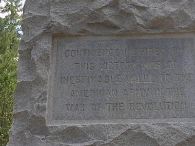
Left of Monument:
this victory was of
inestimable value to the
American Army in the
War of the Revolution
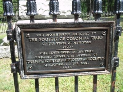
Gate Plaque:
The Society of Colonial Wars
of the State of New York
. 1903 .
--------------
This fence given by the State
erected under the auspices of
The New York State Historical Association
Custodian of the park
. 1914 .
Erected 1903 by The Society of Colonial Wars of the State of New York.
Topics. This historical marker is listed in these topic lists: Military • Notable Events • War, French and Indian. A significant historical year for this entry is 1903.
Location. 43° 25.042′ N, 73° 42.411′ W. Marker is in Lake George, New York, in Warren County . Marker is on Fort George Road, on the left when traveling south. Marker is located in Lake George Battlefield Park. Touch for map. Marker is in this post office area: Lake George NY 12845, United States of America. Touch for directions.
Other nearby markers. At least 8 other markers are within walking distance of this marker. Memorial to Four Unknown Soldiers (within shouting distance of this marker); The Hospital (within shouting distance of this marker); Gen. Henry Knox Trail (within shouting distance of this marker); Lake George in the American Revolution (about 300 feet away, measured in a direct line); Stockaded Fort 1759 (about 300 feet away); The 1755 Battle of Lake George (about 400 feet away); Colonial Maritime Heritage (about 400 feet away); Military Dock (about 400 feet away). Touch for a list and map of all markers in Lake George.
Also see . . . French & Indian War: Battle of Lake George. ThoughtCo. website entry:
The Battle of Lake George took place during the French & Indian War (1754-1763) fought between the French and British. (Submitted on July 21, 2008, by Bill Coughlin of Woodland Park, New Jersey.)
Credits. This page was last revised on July 4, 2021. It was originally submitted on July 21, 2008, by Bill Coughlin of Woodland Park, New Jersey. This page has been viewed 3,066 times since then and 43 times this year. Photos: 1, 2, 3, 4, 5, 6. submitted on July 21, 2008, by Bill Coughlin of Woodland Park, New Jersey. 7. submitted on September 26, 2016, by Howard C. Ohlhous of Duanesburg, New York.
