Marker Logo HMdb.org THE HISTORICAL
MARKER DATABASE
“Bite-Size Bits of Local, National, and Global History”
Greene in Chenango County, New York — The American Northeast (Mid-Atlantic)
 

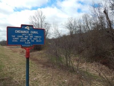
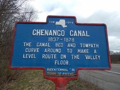
Chenango Canal

1837-1878


Chenango Canal Marker image. Click for full size.
Photographed By Scott J. Payne, April 23, 2016
1. Chenango Canal Marker
Inscription. The canal bed and towpath curve around to make level route on the valley floor.
 
Erected 1976 by Town of Greene.
 
Topics and series. This historical marker is listed in this topic list: Waterways & Vessels. In addition, it is included in the Chenango Canal series list. A significant historical year for this entry is 1837.
 
Location. 42° 21.144′ N, 75° 43.506′ W. Marker is in Greene, New York, in Chenango County. Marker is on New York State Route 12. Touch for map. Marker is in this post office area: Greene NY 13778, United States of America. Touch for directions.
 
Other nearby markers. At least 8 other markers are within 3 miles of this marker, measured as the crow flies. Wilcox Homestead (approx. 0.6 miles away); Greene (approx. 2.3 miles away); a different marker also named Chenango Canal (approx. 2.4 miles away); Stephen Ketchum (approx. 2˝ miles away); First Baptist Church (approx. 2˝ miles away); First Church (approx. 2.6 miles away); First Bridge (approx. 2.8 miles away); Greene Civil War Memorial (approx. 2.8 miles away). Touch for a list and map of all markers in Greene.
 
Paid Advertisement
Click on the ad for more information.
Please report objectionable advertising to the Editor.
Click or scan to see
this page online
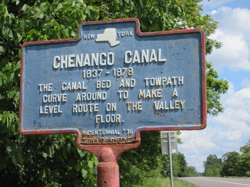
Chenango Canal Marker image. Click for full size.
Photographed By Mira Earls, August 6, 2022
2. Chenango Canal Marker
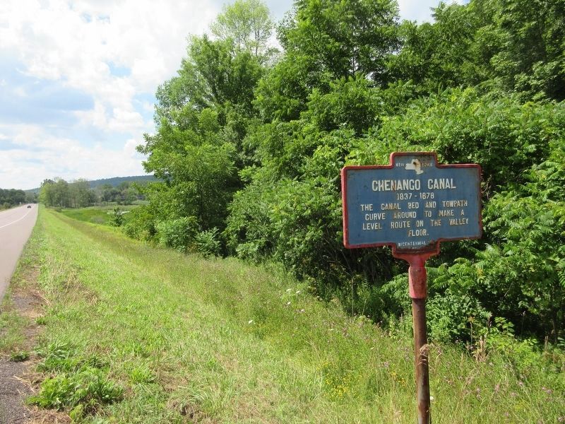
This photo is looking North on Route 12.
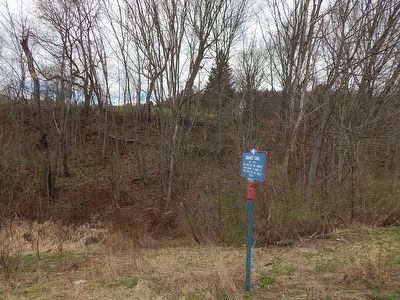
Chenango Canal Marker image. Click for full size.
Photographed By Scott J. Payne, April 23, 2016
3. Chenango Canal Marker
Looking southwest.
Chenango Canal Marker image. Click for full size.
Photographed By Scott J. Payne, April 23, 2016
4. Chenango Canal Marker
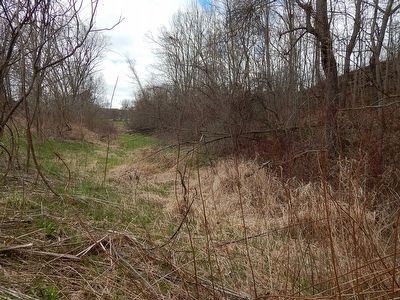
Chenango Canal Marker image. Click for full size.
Photographed By Scott J. Payne, April 23, 2016
5. Chenango Canal Marker
Looking southwest. Remains of the canal are still easily visible.
Chenango Canal Marker image. Click for full size.
Photographed By Mira Earls, August 6, 2022
6. Chenango Canal Marker
Chenango Canal Marker image. Click for full size.
Photographed By Mira Earls, August 6, 2022
7. Chenango Canal Marker
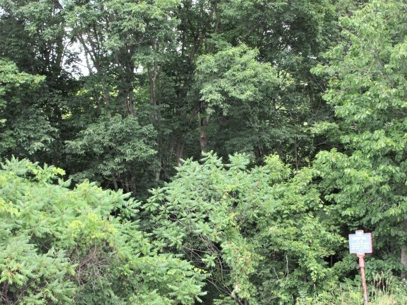
Tree growth since the 2016 photo previously shown. Overgrown foliage makes it very difficult to see much.
 
 
Credits. This page was last revised on August 8, 2022. It was originally submitted on April 23, 2016, by Scott J. Payne of Deposit, New York. This page has been viewed 330 times since then and 19 times this year. Photos:   1. submitted on April 23, 2016, by Scott J. Payne of Deposit, New York.   2. submitted on August 7, 2022, by Mira Earls of Cortland, New York.   3, 4, 5. submitted on April 23, 2016, by Scott J. Payne of Deposit, New York.   6, 7. submitted on August 7, 2022, by Mira Earls of Cortland, New York. • Bill Pfingsten was the editor who published this page.
Share this page.  
Share on Tumblr
m=94141

CeraNet Cloud Computing sponsors the Historical Marker Database.
This website earns income from purchases you make after using our links to Amazon.com. We appreciate your support.
Paid Advertisement
Apr. 16, 2024