Chamblee in DeKalb County, Georgia — The American South (South Atlantic)
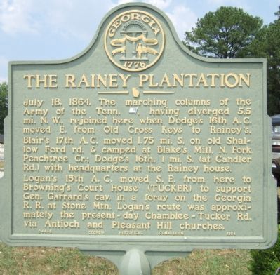
The Rainey Plantation
Logan's 15th A.C. moved S.E. from here to Browning's Court House (TUCKER) to support Gen. Garrard's cav. in a foray on the Georgia R.R. at Stone Mtn. Logan's route was approximately the present day Chamblee-Tucker Rd. via Antioch and Pleasant Hill churches.
Erected 1954 by Georgia Historical Commission. (Marker Number 044-8.)
Topics and series. This historical marker is listed in this topic list: War, US Civil. In addition, it is included in the Georgia Historical Society series list. A significant historical date for this entry is July 18, 1864.
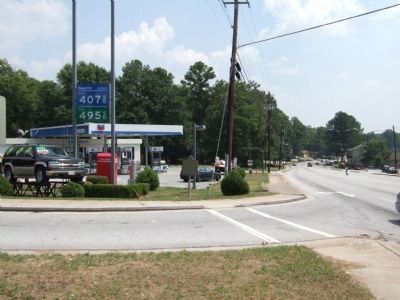
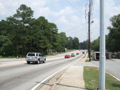
Location. 33° 53.095′ N, 84° 17.077′ W. Marker is in Chamblee, Georgia, in DeKalb County. Marker is at the intersection of Chamblee Tucker Road and Shallowford Road, on the right when traveling east on Chamblee Tucker Road. Touch for map. Marker is at or near this postal address: 2515 Chamblee Tucker Rd, Atlanta GA 30341, United States of America. Touch for directions.
Other nearby markers. At least 8 other markers are within 3 miles of this marker , measured as the crow flies. 1941 ✯ Naval Air Station Atlanta ✯ 1959 (approx. 1.2 miles away); 1917 ✯ Camp Gordon ✯ 1919 (approx. 1.2 miles away); Site: Blake’s Mill (approx. 1.6 miles away); Dodge's & Blair's Columns Separate (approx. 2.1 miles away); Old Cross Keys (approx. 2.4 miles away); Site: Henderson’s Mill (approx. 2˝ miles away); The Samuel House Plantation (approx. 2˝ miles away); Garrard's Cavalry at Buchanan's (approx. 2.7 miles away). Touch for a list and map of all markers in Chamblee.
Credits. This page was last revised on February 8, 2023. It was originally submitted on July 21, 2008, by Felch Dumas of Decatur, Georgia. This page has been viewed 2,616 times since then and 56 times this year. Photos: 1, 2, 3. submitted on July 21, 2008, by Felch Dumas of Decatur, Georgia. • Craig Swain was the editor who published this page.


