Death Valley National Park in Inyo County, California — The American West (Pacific Coastal)
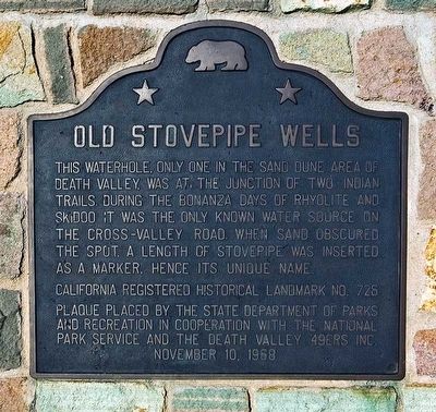
Old Stovepipe Wells
Erected 1968 by California Department of Parks and Recreation; National Park Service; and Death Valley 49ers Inc. (Marker Number 826.)
Topics and series. This historical marker is listed in these topic lists: Exploration • Native Americans • Settlements & Settlers. In addition, it is included in the California Historical Landmarks series list.
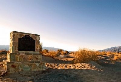
Location. 36° 39.544′ N, 117° 4.749′ W. Marker is in Death Valley National Park, California, in Inyo County. Marker is on Stovepipe Wells Road, 0.8 miles west of Scotty's Castle Road, on the right when traveling west. Touch for map. Marker is in this post office area: Death Valley CA 92328, United States of America. Touch for directions.
Other nearby markers. At least 8 other markers are within 14 miles of this marker, measured as the crow flies. Devil’s Cornfield (approx. 3 miles away); Death Valley’s First Tourist Resort (approx. 5.1 miles away); Burned Wagons Point (approx. 5.2 miles away); Road To Adventure (approx. 5.2 miles away); Eichbaum Toll Road (approx. 5.3 miles away); Keane Wonder Mine (approx. 9˝ miles away); Petroglyphs (approx. 12.6 miles away); Leadfield (approx. 13.1 miles away). Touch for a list and map of all markers in Death Valley National Park.
More about this marker. Old Stovepipe Wells is California Historic Landmark 826, not 726. The marker has a typo. Landmark 726 is the Sebastian Store in San Luis Obispo County.
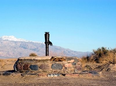
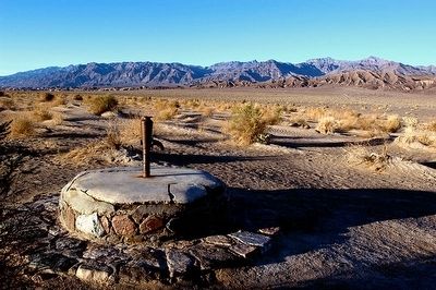
Regarding Old Stovepipe Wells. These shallow wells dug into the sandy ground were originally used by the Indian inhabitants of the valley. Its location was often obscured by mounds of blown sand, making its detection by thirsty prospectors an often desperate and time-consuming task. Then someone stuck a length of stovepipe into the ground for easy discovery of the site from all directions.
Related marker. Click here for another marker that is related to this marker. — Wagon tracks of the cross-valley road near Stovepipe Wells.
Credits. This page was last revised on December 8, 2022. It was originally submitted on May 12, 2016, by Alvis Hendley of San Francisco, California. This page has been viewed 605 times since then and 32 times this year. Photos: 1, 2, 3, 4. submitted on May 12, 2016, by Alvis Hendley of San Francisco, California. • Syd Whittle was the editor who published this page.


