Arcadia in Hancock County, Ohio — The American Midwest (Great Lakes)
Village of Arcadia / The Arcadia Heritage
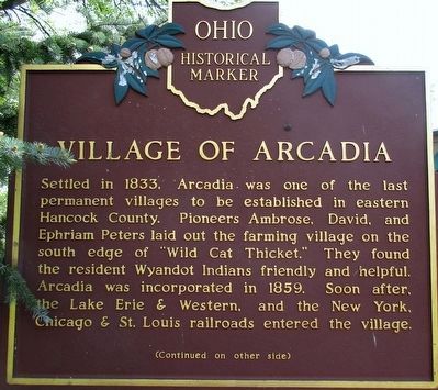
Village of Arcadia
Settled in 1833, Arcadia was one of the last permanent villages to be established in eastern Hancock County. Pioneers Ambrose, David, and Ephriam Peters laid out the farming village on the south edge of "Wild Cat Thicket." They found the resident Wyandot Indians friendly and helpful. Arcadia was incorporated in 1859. Soon after, the Lake Erie & Western, and the New York Chicago & St. Louis railroads entered the village.
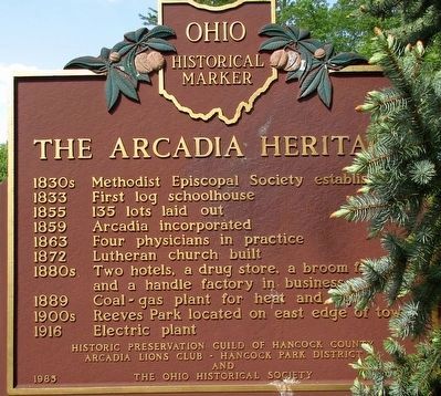
The Arcadia Heritage
1830s Methodist Episcopal Society established
1833 First log schoolhouse
1855 135 lots laid out
1859 Arcadia incorporated
1863 Four physicians in practice
1872 Lutheran church built
1880s Two hotels, a drug store, a broom factory, and a handle factory in business
1889 Coal-gas plant for heat and light
1900s Reeves Park located on east edge of town
1916 Electric plant
Erected 1985 by Historic Preservation Guild of Hancock County Arcadia Lions Club Hancock Park District The Ohio Historical Society. (Marker Number 13- 32.)
Topics and series. This historical marker is listed in these topic lists: Industry & Commerce • Railroads & Streetcars
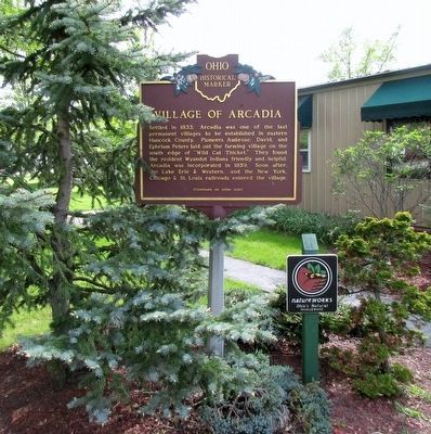
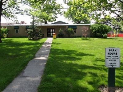
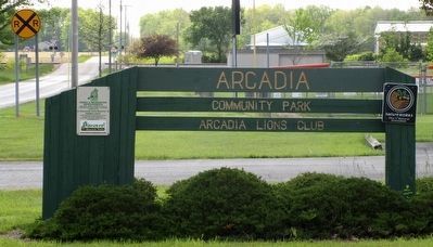
Location. 41° 6.543′ N, 83° 31.012′ W. Marker is in Arcadia, Ohio, in Hancock County. Marker is at the intersection of Washington Road (County Route 254) and Brown Road (County Route 216), on the left when traveling north on Washington Road. The marker stands in the Arcadia Lions Community Park at the east entrance to the Community Building. Touch for map. Marker is at or near this postal address: 3894Township Road 254, Arcadia OH 44804, United States of America. Touch for directions.
Other nearby markers. At least 8 other markers are within 7 miles of this marker, measured as the crow flies. Bloomdale Centennial (approx. 4.6 miles away); Bloomdale Veterans Memorial (approx. 4.8 miles away); Gingko Tree (approx. 6.2 miles away); Fostoria (approx. 6.3 miles away); Home Site of the Foster Family (approx. 6.3 miles away); St. Wendelin Parish's Cross (approx. 6.3 miles away); Marion Township School District #3 (approx. 6.3 miles away); Risdon Square (approx. 6.3 miles away).
Credits. This page was last revised on July 20, 2021. It was originally submitted on May 19, 2016, by Rev. Ronald Irick of West Liberty, Ohio. This page has been viewed 830 times since then and 69 times this year. Photos: 1, 2, 3, 4, 5. submitted on May 19, 2016, by Rev. Ronald Irick of West Liberty, Ohio. • Bill Pfingsten was the editor who published this page.
