Marker Logo HMdb.org THE HISTORICAL
MARKER DATABASE
“Bite-Size Bits of Local, National, and Global History”
Tiro in Crawford County, Ohio — The American Midwest (Great Lakes)
 

Knisley Springs Farm


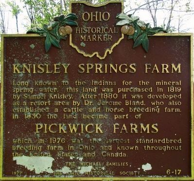
Knisley Springs Farm Marker image. Click for full size.
Photographed By Rev. Ronald Irick, May 19, 2016
1. Knisley Springs Farm Marker
Close up
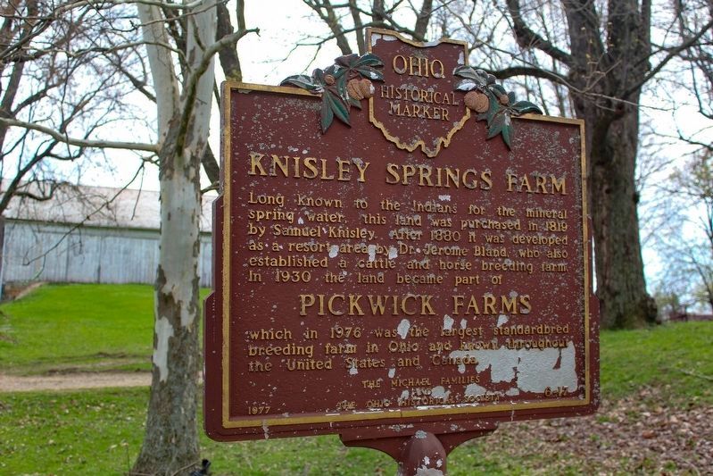
Inscription. Long known to the Indians for the mineral spring water, this land was purchased in 1819 by Samuel Knisley. After 1880 it was developed as a resort area by Dr. Jerome Bland, who also established a cattle and horse breeding farm. In 1930 the land became part of Pickwick Farms which in 1976 was the largest standardbred breeding farm in Ohio and known throughout the United States and Canada.
 
Erected 1977 by The Michael Families and The Ohio Historical Society. (Marker Number 6- 17.)
 
Topics and series. This historical marker is listed in these topic lists: AgricultureAnimals. In addition, it is included in the Ohio Historical Society / The Ohio History Connection series list.
 
Location. 40° 50.163′ N, 82° 49.913′ W. Marker is in Tiro, Ohio, in Crawford County. Marker is on Cox Road (County Route 176), on the left when traveling west. Marker is on Cox Rd between Biddle Rd, Co. Rd 44 and Beck Rd, Co. Rd 20, just west of the Sandusky River; all just east of St Rt 602. Touch for map. Marker is at or near this postal address: 5921 Cox Rd, Tiro OH 44887, United States of America. Touch for directions.
 
Other nearby markers. At least 8 other markers are within 8 miles of this marker, measured as the crow flies. Remembering Our Veterans of Early Wars (approx. 3.6 miles away); To the Memory of Colonel Wm. Crawford
Paid Advertisement
Click on the ad for more information.
Please report objectionable advertising to the Editor.
Click or scan to see
this page online
(approx. 3.7 miles away); Seccaium (approx. 5.7 miles away); Olentangy Battle (approx. 5.7 miles away); Crestline War Memorial (approx. 6.1 miles away); Crestline Community Service Center (approx. 6.1 miles away); John Edward Hopley (approx. 6.7 miles away); Lincoln Highway Marker (approx. 7.4 miles away).
 
Knisley Springs Farm Marker image. Click for full size.
Photographed By Alex Krempasky, April 15, 2023
2. Knisley Springs Farm Marker
Knisley Springs Farm Marker image. Click for full size.
Photographed By Rev. Ronald Irick, May 19, 2016
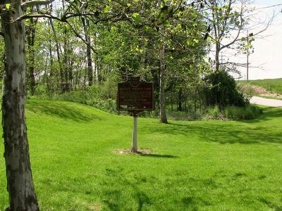
3. Knisley Springs Farm Marker
Springs are in the woods to the left
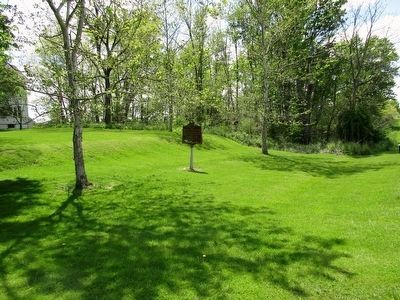
Knisley Springs Farm Marker image. Click for full size.
Photographed By Rev. Ronald Irick, May 19, 2016
4. Knisley Springs Farm Marker
Marker from a distance, corner of farmhouse visible to far left
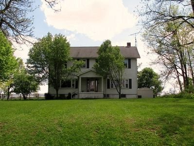
Knisley Springs Farmhouse image. Click for full size.
Photographed By Rev. Ronald Irick, May 19, 2016
5. Knisley Springs Farmhouse
The farmhouse is on the hill above the marker.
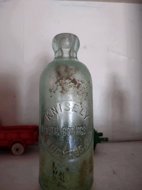
Knisley Mineral Springs Bottle from the 1880s image. Click for full size.
Photographed By Shain D. Runion, April 1, 2023
6. Knisley Mineral Springs Bottle from the 1880s
 
 
Credits. This page was last revised on May 13, 2023. It was originally submitted on May 20, 2016, by Rev. Ronald Irick of West Liberty, Ohio. This page has been viewed 795 times since then and 40 times this year. Photos:   1. submitted on May 20, 2016, by Rev. Ronald Irick of West Liberty, Ohio.   2. submitted on May 13, 2023, by Alex Krempasky of Obetz, Ohio.   3, 4, 5. submitted on May 20, 2016, by Rev. Ronald Irick of West Liberty, Ohio.   6. submitted on April 23, 2023, by Shain D. Runion of Nevada, Ohio. • Bill Pfingsten was the editor who published this page.
Share this page.  
Share on Tumblr
m=94709

CeraNet Cloud Computing sponsors the Historical Marker Database.
This website earns income from purchases you make after using our links to Amazon.com. We appreciate your support.
Paid Advertisement
Apr. 23, 2024