Holland in Lucas County, Ohio — The American Midwest (Great Lakes)
The Oak Openings Regions
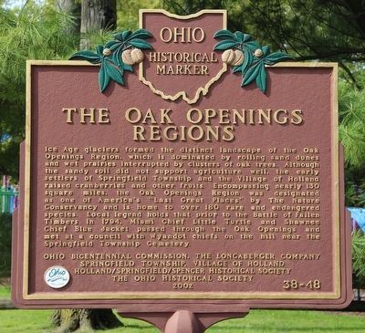
Ice Age glaciers formed the distinct landscape of the Oak Openings Region, which is dominated by rolling sand dunes and wet prairies interrupted by clusters of oak trees. Although the sandy soil did not support agriculture well, the early settlers of Springfield Township and the Village of Holland raised cranberries and other fruits. Encompassing nearly 130 square miles, the Oak Openings Region was designated as one of America's "Last Great Places" by The Nature Conservancy and is home to over 180 rare and endangered species. Local legend holds that prior to the Battle of Fallen Timbers in 1794, Miami Chief Little Turtle and Shawnee Chief Blue Jacket passed through the Oak Openings and met at a council with Wyandot chiefs on the hill near the Springfield Township Cemetery. Prairies
Erected 2002 by Ohio Bicentennial Commission, The Longaberger Company, Springfield Township, Village of Holland, Holland/Springfield/Spencer Historical Society, and The Ohio Historical Society. (Marker Number 38-48.)
Topics and series. This historical marker is listed in these topic lists: Environment • Native Americans • Wars, US Indian. In addition, it is included in the Ohio Historical Society / The Ohio History Connection series list. A significant historical year for this entry is 1794.
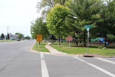
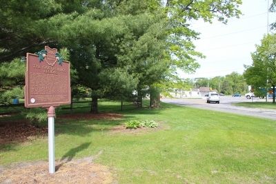
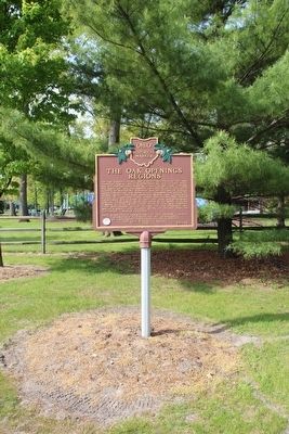
Location. 41° 37.449′ N, 83° 42.207′ W. Marker is in Holland, Ohio, in Lucas County. Marker is at the intersection of South McCord Road and Holly Drive, on the right when traveling south on South McCord Road. This marker is located on the northeast corner of the Strawberry Acres Park (a community park), just outside of the park's perimeter, split rail fence, several feet away from the street corner. Touch for map. Marker is in this post office area: Holland OH 43528, United States of America. Touch for directions.
Other nearby markers. At least 8 other markers are within 4 miles of this marker, measured as the crow flies. Holland (approx. 0.6 miles away); Swan Creek Preserve (approx. 3.1 miles away); Horticultural Heirlooms (approx. 3.4 miles away); Small Tree, Big History! (approx. 3.4 miles away); Peter Navarre Cabin (approx. 3.4 miles away); a different marker also named The Peter Navarre Cabin (approx. 3.4 miles away); Monclova Soldiers' Monument (approx. 3˝ miles away); Elmer W. Hinkleman Rhododendron Gardens (approx. 3˝ miles away).
Credits. This page was last revised on February 7, 2023. It was originally submitted on May 20, 2016, by Dale K. Benington of Toledo, Ohio. This page has been viewed 510 times since then and 13 times this year. Photos: 1, 2, 3, 4. submitted on May 20, 2016, by Dale K. Benington of Toledo, Ohio.


