Near Merkel in Taylor County, Texas — The American South (West South Central)
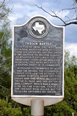
Near Site of Indian Battle
On Feb. 15, 1870, Cpl. Hilliard Morrow and five men of Co. E, 24th U.S. Infantry, set out from Fort Griffin to relieve guards at Mountain Pass mail station near here. Soon after arriving, however, they were besieged by a raiding party of 75 Comanches.
Although outnumbered by more than ten to one, the courageous group repelled the attack. The Indians, however, drove off five mules and one horse belonging to the El Paso and San Antonio Mail Company, which ran a branch line to the station. Three of the Indians were killed, but the soldiers suffered no losses.
Erected 1968 by State Historical Survey Committee. (Marker Number 3565.)
Topics. This historical marker is listed in these topic lists: Communications • Native Americans • Roads & Vehicles • Wars, US Indian. A significant historical month for this entry is February 1858.
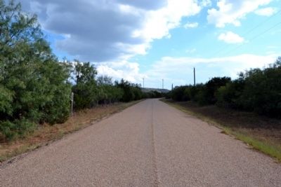
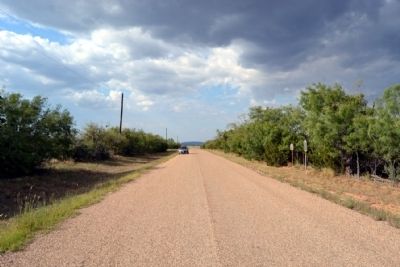
Location. 32° 19.265′ N, 100° 3.245′ W. Marker is near Merkel, Texas, in Taylor County. Marker is on County Road 351, 0.2 miles south of County Road 350, on the left when traveling south. Touch for map. Marker is in this post office area: Merkel TX 79536, United States of America. Touch for directions.
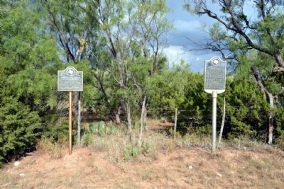
Other nearby markers. At least 8 other markers are within 12 miles of this marker, measured as the crow flies. Mountain Pass Station (here, next to this marker); Mulberry Canyon (approx. 5.9 miles away); Cornelia Clark Fort (approx. 5.9 miles away); In Vicinity of Coronado's Camp (approx. 6.2 miles away); Castle Peak (approx. 7.1 miles away); Vicinity of Indian Fight (approx. 7.1 miles away); Drummond Cemetery (approx. 10.7 miles away); Camp Barkeley (approx. 11.2 miles away). Touch for a list and map of all markers in Merkel.
Also see . . . San Antonio - El Paso Mail. From the Texas State Historical Association’s “Handbook of Texas Online”. (Submitted on October 7, 2014.)
Credits. This page was last revised on November 29, 2020. It was originally submitted on October 7, 2014, by Duane Hall of Abilene, Texas. This page has been viewed 851 times since then and 88 times this year. Last updated on May 29, 2016, by William F Haenn of Fort Clark (Brackettville), Texas. Photos: 1, 2, 3, 4. submitted on October 7, 2014, by Duane Hall of Abilene, Texas. • Bernard Fisher was the editor who published this page.


