Sebastian in Indian River County, Florida — The American South (South Atlantic)
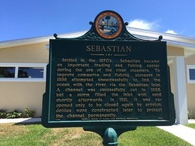
Sebastian
Erected 1963 by Florida Board of Parks and Historic Memorials. (Marker Number F-98.)
Topics. This historical marker is listed in these topic lists: Industry & Commerce • Settlements & Settlers • Waterways & Vessels.
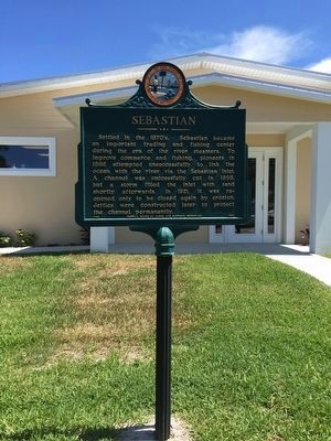
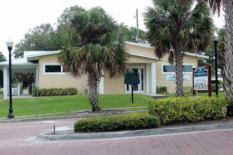
Location. 27° 49.038′ N, 80° 28.138′ W. Marker is in Sebastian, Florida, in Indian River County. Marker is at the intersection of Main Street and Indian River Drive, on the right when traveling east on Main Street. In front of the Sebastian River Area Chamber of Commerce. Touch for map. Marker is at or near this postal address: 700 Main Street, Sebastian FL 32958, United States of America. Touch for directions.
Other nearby markers. At least 8 other markers are within 3 miles of this marker, measured as the crow flies. Historic Hardee Oak (within shouting distance of this marker); War Memorial (approx. 0.6 miles away); William Bartram Trail (approx. 0.6 miles away); Sebastian Veterans Memorial (approx. one mile away); Park Family Cemetery (approx. one mile away); Archie Smith Wholesale Co., Inc. (approx. 1.3 miles away); Roseland (approx. 2.1 miles away); Site of Survivors’ and Salvagers’ Camp (approx. 2.4 miles away). Touch for a list and map of all markers in Sebastian.
Credits. This page was last revised on June 16, 2021. It was originally submitted on June 6, 2016, by Jay Kravetz of West Palm Beach, Florida. This page has been viewed 600 times since then and 35 times this year. Photos: 1, 2. submitted on June 6, 2016, by Jay Kravetz of West Palm Beach, Florida. 3. submitted on June 16, 2021, by Tim Fillmon of Webster, Florida. • Bernard Fisher was the editor who published this page.


