North Ormewood Park in Atlanta in Fulton County, Georgia — The American South (South Atlantic)
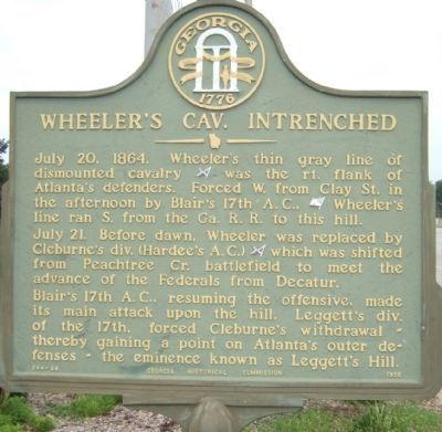
Wheeler's Cav. Intrenched
July 21. Before dawn, Wheeler was replaced by Cleburne’s div. (Hardee’s A.C.)(CS) which was shifted from Peachtree Cr. battlefield to meet the advance of the Federals from Decatur.
Blair’s 17th A.C., resuming the offensive, made its main attach upon the hill. Leggett’s div. of the 17th, forced Cleburne’s withdrawal – thereby gaining a point on Atlanta’s outer defenses – the eminence known as Leggett’s Hill.
Erected 1956 by Georgia Historic Commission. (Marker Number 044-66.)
Topics and series. This historical marker is listed in this topic list: War, US Civil. In addition, it is included in the Georgia Historical Society series list. A significant historical date for this entry is July 20, 1865.
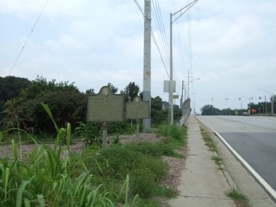
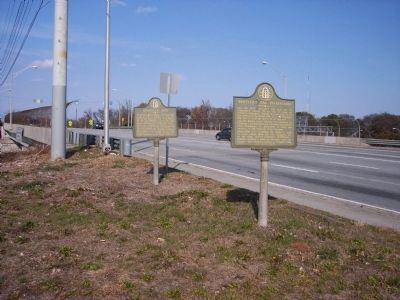
Location. 33° 44.692′ N, 84° 20.978′ W. Marker is in Atlanta, Georgia, in Fulton County. It is in North Ormewood Park. Marker is at the intersection of Moreland Avenue and Interstate 20, on the right when traveling south on Moreland Avenue. Touch for map. Marker is at or near this postal address: 335 Howell Dr SE, Atlanta GA 30316, United States of America. Touch for directions.
Other nearby markers. At least 8 other markers are within walking distance of this marker. Leggett's Hill (here, next to this marker); Attack from the West (approx. 0.3 miles away); Cleburne's Div. in the Federal Rear (approx. 0.4 miles away); Cleburne Outflanked Left Wing, 17th A.C. (approx. 0.4 miles away); Historic Ground --1864 (approx. half a mile away); Death of McPherson (approx. half a mile away); Gresham's Division (approx. 0.6 miles away); Maney's Div. in the Battle of Atlanta (approx. 0.6 miles away). Touch for a list and map of all markers in Atlanta.
More about this marker. This marker was originally erected in DeKalb County, which is just on the other side of Morland Avenue.
Credits. This page was last revised on February 10, 2023. It was originally submitted on July 25, 2008, by Felch Dumas of Decatur, Georgia. This page has been viewed 1,456 times since then and 13 times this year. Photos: 1, 2. submitted on July 25, 2008, by Felch Dumas of Decatur, Georgia. 3. submitted on January 1, 2011, by Michael Dover of Ellerslie, Georgia. • Craig Swain was the editor who published this page.


