Near Bartow in Polk County, Florida — The American South (South Atlantic)
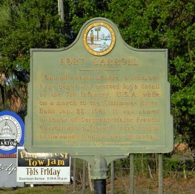
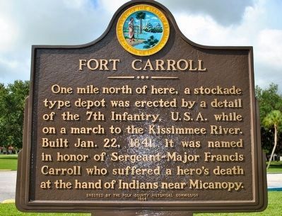
Fort Carroll
Erected 1964 by Polk County Historical Commission.
Topics. This historical marker is listed in these topic lists: Forts and Castles • Wars, US Indian. A significant historical date for this entry is January 22, 1841.
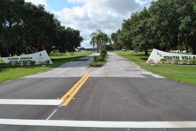
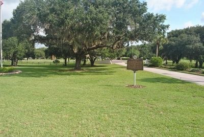
Location. 27° 54.363′ N, 81° 48.095′ W. Marker is near Bartow, Florida, in Polk County. Marker can be reached from State Road 60, half a mile west of 91 Mine Road, on the right when traveling east. The marker in located near the visitor's parking lot within the Florida Sheriff's Youth Villa on SR60 East. Touch for map. Marker is at or near this postal address: 3350 State Route 60 East, Bartow FL 33830, United States of America. Touch for directions.
Other nearby markers. At least 8 other markers are within 4 miles of this marker, measured as the crow flies. Memorial for Austin C. Welch (approx. one mile away); Union Academy High School (approx. 1˝ miles away); Historic L. B. Brown House (approx. 2.2 miles away); Swearingen - Langford House (approx. 2.3 miles away); Old Polk County Courthouse (approx. 2.6 miles away); Site of Fort Blount (approx. 2.7 miles away); Mann Manor (approx. 2.8 miles away); Evergreen & Palm Cemeteries (approx. 3.4 miles away). Touch for a list and map of all markers in Bartow.
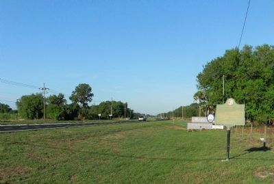
More about this marker. This marker is referred to as "The Wandering Star." The marker is believed to have existed since 1961. The marker was originally dedicated on February 16, 1965 at its second location in the median of SR60 near Peace Creek Road. The third move for the marker found it at the intersection of Peace Creek Rd. and SR60 due to highway maintenance. Then, due to extensive phosphate mining in the 1980s, Peace Creek Rd. no longer existed and the marker disappeared. It was later found in a county motor pool.
Finally on its eighth, and hopefully final move, the "Wandering Star" found a safe location, thanks to the Florida Sheriff's Youth Villa and the Polk County Historical Commission. The marker was rededicated in 2014. Source: Polk County Historical an Genealogical Library. Dedication of Fort Carroll Marker, November 13, 2014, Florida Sheriff's Youth Villa, Bartow. Address by William Lloyd Harris.
Regarding Fort Carroll.
Fort Carroll
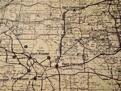
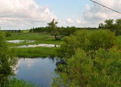
Fort Carroll was a a small log blockhouse with an encampment of soldiers around it. Along the road from Ft. Brooke (Tampa) to Fort Gardiner built by the men of Colonel Zachary Taylor in 1837, there was a north south road called Davenport which ended at Ft. Mellon (Sanford). At this intersection Colonel William Jenkins Worth (1794-1849) ordered Fort Carroll built on the north side of Peace Creek. This was not a favorable location. Due to poor health conditions Fort Carroll was abandoned less than a month later. The garrison was transferred north to Fort Cummings (Lake Alfred).
Sources: Polk County Historical and Genealogical Library. Fort Carroll File. June 8, 2016.
Roberts, Robert B. Encyclopedia of Historic Forts: The Military, Pioneer, and Trading Posts of the United States. Macmillan Publishing Company, New York, 1988. p.156.
Also see . . . Lakeland Ledger - Fort Carroll Marker Put Back in Place. (Submitted on March 30, 2012, by PaulwC3 of Northern, Virginia.)
Credits. This page was last revised on April 12, 2018. It was originally submitted on March 30, 2012, by PaulwC3 of Northern, Virginia. This page has been viewed 1,364 times since then and 49 times this year. Last updated on June 13, 2016, by Dean Moss McCracken of Lakeland, Florida. Photos: 1. submitted on March 30, 2012, by PaulwC3 of Northern, Virginia. 2. submitted on June 13, 2016, by Dean Moss McCracken of Lakeland, Florida. 3. submitted on March 30, 2012, by PaulwC3 of Northern, Virginia. 4, 5. submitted on June 13, 2016, by Dean Moss McCracken of Lakeland, Florida. 6, 7, 8. submitted on June 15, 2016, by Dean Moss McCracken of Lakeland, Florida. • Bill Pfingsten was the editor who published this page.
