Knoxville in Knox County, Tennessee — The American South (East South Central)
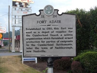
Fort Adair
Erected by Tennessee Historical Commission. (Marker Number 1E 24.)
Topics and series. This historical marker is listed in these topic lists: Forts and Castles • Military • Settlements & Settlers. In addition, it is included in the Tennessee Historical Commission series list. A significant historical year for this entry is 1788.
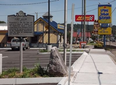
Location. 36° 1.578′ N, 83° 55.644′ W. Marker is in Knoxville, Tennessee, in Knox County. Marker is on North Broadway Street (U.S. 441) 0.1 miles north of Adair Drive, on the right when traveling south. Touch for map. Marker is at or near this postal address: 4816 N Broadway St, Knoxville TN 37918, United States of America. Touch for directions.
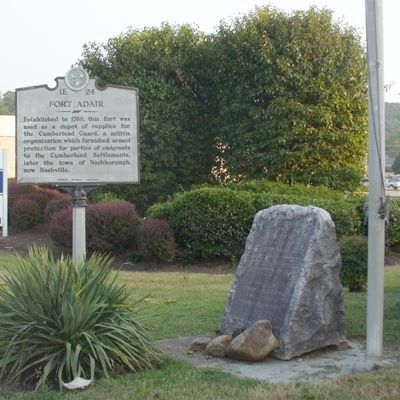
Other nearby markers. At least 8 other markers are within 4 miles of this marker, measured as the crow flies. Site of Fort Adair (here, next to this marker); Mary Frances Housley (approx. ¼ mile away); Fountain City United Methodist Church (approx. ¾ mile away); Fountain City Schools (approx. one mile away); Savage Garden (approx. 1.1 miles away); Mt. Fuji (approx. 2.2 miles away); William E. Peters House (approx. 2.6 miles away); Mr. Anderson's Log College (approx. 3.4 miles away). Touch for a list and map of all markers in Knoxville.
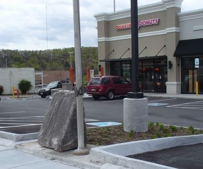
More about this marker. Adair Marker has been replaced by TN DOT following commercial Construction. June 17, 2016
Regarding Fort Adair. John Adair is buried nearby in Lynnhurst Cem on Adair Drive.
Additional keywords. John Adair
Credits. This page was last revised on January 14, 2024. It was originally submitted on June 27, 2010, by Donald Raby of Knoxville, Tennessee. This page has been viewed 1,049 times since then and 44 times this year. Last updated on June 19, 2016, by Donald Raby of Knoxville, Tennessee. Photos: 1. submitted on June 27, 2010, by Donald Raby of Knoxville, Tennessee. 2. submitted on July 4, 2010, by Donald Raby of Knoxville, Tennessee. 3. submitted on June 19, 2016, by Donald Raby of Knoxville, Tennessee. 4. submitted on April 16, 2016, by Donald Raby of Knoxville, Tennessee. • Bill Pfingsten was the editor who published this page.
Editor’s want-list for this marker. Photos of the marker after it is re-installed. • Can you help?


