Near Warren in Washington County, Vermont — The American Northeast (New England)
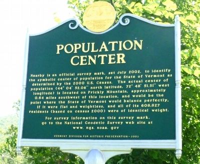
Population Center
Nearby is an official survey mark, set July 2002, to identify the symbolic center of population for the State of Vermont as determined by the 2000 U.S. Census. The actual center of population (44° 04' 52.05" north latitude, 72° 48' 51.51" west longitude) is located on Prickly Mountain, approximately 0.64 miles southwest of this location, and would be the point where the State of Vermont would balance perfectly, if it were flat and weightless, and all of its 608,827 residents (based on census 2000) were of identical weight. For survey information on this survey mark, go to the National Geodetic Survey web site at www.ngs.noaa.gov.
Erected 2002 by Vermont Division for Historic Preservation.
Topics. This historical marker is listed in this topic list: Government & Politics. A significant historical month for this entry is July 2002.
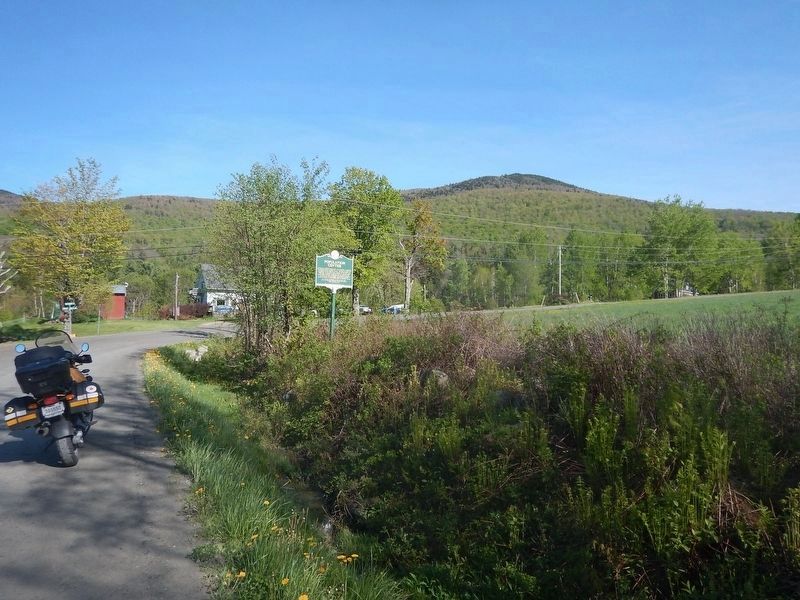
Location. 44° 5.354′ N, 72° 49.224′ W. Marker is near Warren, Vermont, in Washington County. Marker is at the intersection of Fuller Hill Road and Prickly Mountain Road and Senor Road, on the right when traveling east on Fuller Hill Road. Touch for map. Marker is in this post office area: Warren VT 05674, United States of America. Touch for directions.
Other nearby markers. At least 6 other markers are within 13 miles of this marker, measured as the crow flies. Roxbury Fish Culture Station (approx. 4.1 miles away); To Our Defenders (approx. 4.3 miles away); The Corner School (approx. 7.3 miles away); Norwich University (approx. 8.6 miles away); Northfield Civil War Memorial (approx. 9.1 miles away); Robert Frost (approx. 13 miles away).
Credits. This page was last revised on May 21, 2017. It was originally submitted on June 20, 2016, by Dennis Gilkenson of Saxtons River, Vermont. This page has been viewed 367 times since then and 17 times this year. Photos: 1. submitted on June 20, 2016, by Dennis Gilkenson of Saxtons River, Vermont. 2. submitted on May 21, 2017, by Kevin Craft of Bedford, Quebec. • Bill Pfingsten was the editor who published this page.

