Brookfield in Orange County, Vermont — The American Northeast (New England)
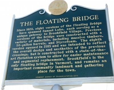
The Floating Bridge
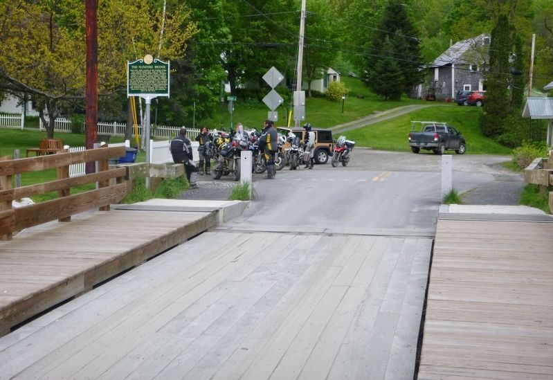
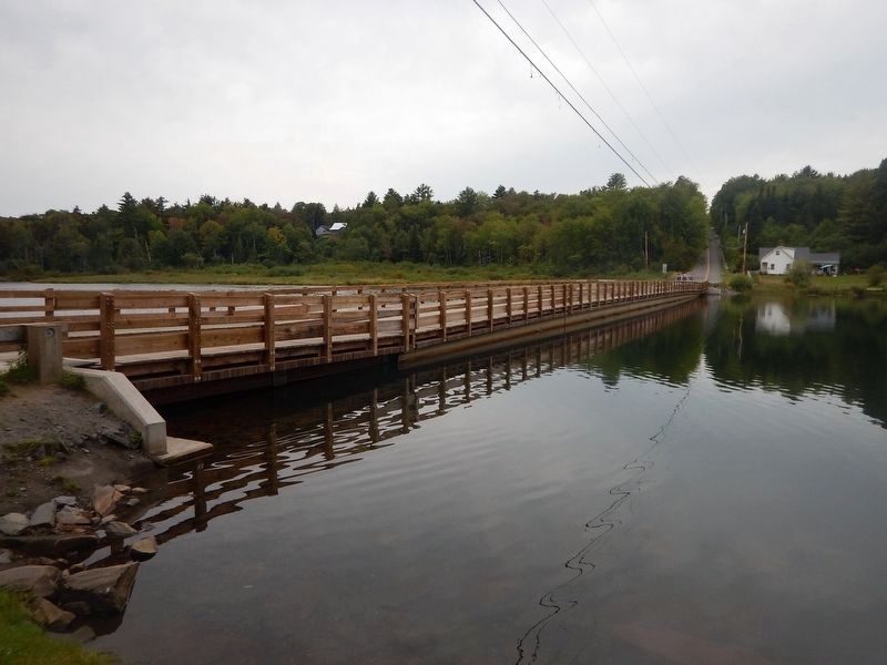
Since 1820, eight versions of the Floating Bridge have spanned Sunset Lake, each serving as a unique gateway to Brookfield Village. Previous versions of the bridge were constructed with a variety of materials, including massive timbers, 50-gallon barrels, and Styrofoam. The eighth version opened in 2015 and was intended to reflect the overall design and aesthetics of the previous crossings, but is constructed with a state-of-the-art flotation system to allow for easier maintenance and segmental replacement. Brookfield’s is the only floating bridge in Vermont, and remains an important community landmark and gathering place for the town.
Erected 2015 by Vermont Agency of Transportation.
Topics. This historical marker is listed in this topic list: Bridges & Viaducts. A significant historical year for this entry is 1820.
Location. 44° 2.543′ N, 72° 36.242′ W. Marker is in Brookfield, Vermont, in Orange County. Marker is at the intersection of Vermont Route 65 and Stone Road, on the right when traveling west on State Route 65. At Sunset Lake. Touch for map. Marker is in this post office area: Brookfield VT 05036, United States of America. Touch for directions.
Other nearby markers. At least 8 other markers are within 8 miles of this marker, measured as the crow flies. Major Ira Day (approx. 2.6 miles away); Justin Morgan Log Cabin Home Site (approx. 3.8 miles away); Town of Williamstown (approx. 6.2 miles away); Davenport Birthplace (approx. 6.4 miles away); Thomas Davenport (approx. 6.4 miles away); Randolph State Normal School (approx. 7.1 miles away); Norwich University (approx. 7.1 miles away); Randolph (approx. 7.1 miles away).
Also see . . . Wikipedia - Sunset Lake Floating Bridge. (Submitted on June 4, 2017, by Kevin Craft of Bedford, Quebec.)
Credits. This page was last revised on August 29, 2017. It was originally submitted on June 27, 2016, by Dennis Gilkenson of Saxtons River, Vermont. This page has been viewed 384 times since then and 10 times this year. Photos: 1. submitted on June 27, 2016, by Dennis Gilkenson of Saxtons River, Vermont. 2. submitted on June 4, 2017, by Dennis Gilkenson of Saxtons River, Vermont. 3. submitted on August 29, 2017, by Kevin Craft of Bedford, Quebec. • Bill Pfingsten was the editor who published this page.


