Near Williamsburg in Clermont County, Ohio — The American Midwest (Great Lakes)
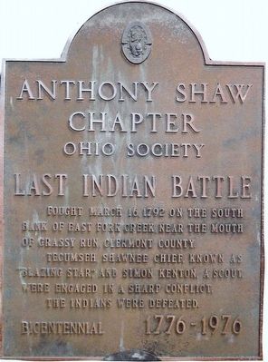
Last Indian Battle
Erected 1976 by National Society Colonial Dames XVII Century Anthony Shaw Chapter Ohio Society for the Bicentennial 1776-1976.
Topics and series. This historical marker is listed in these topic lists: Native Americans • Settlements & Settlers • Wars, US Indian. In addition, it is included in the The Colonial Dames XVII Century, National Society series list. A significant historical date for this entry is March 16, 1792.
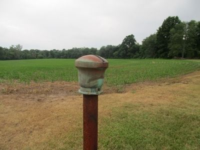
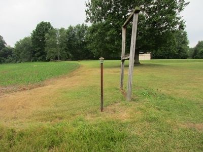
Location. Marker has been reported missing. It was located near 39° 8.07′ N, 84° 0.745′ W. Marker was near Williamsburg, Ohio, in Clermont County. Marker was on Glancy Corner Marathon Rd (County Route 54), on the right when traveling south. marker is missing, is supposed to be in on display at the “Harmony Hill” museum in Williamsburg, Ohio., post still standing (marker was in position on GoogleEarth map April 2012). Touch for map. Marker was at or near this postal address: 5301 Glancy Corner Marathon Rd, Williamsburg OH 45176, United States of America. Touch for directions.
Other nearby markers. At least 8 other markers are within 6 miles of this location, measured as the crow flies. Grassy Run Battlefield (approx. 0.4 miles away); Hartman Log Cabin (approx. 2.1 miles away); Vera Cruz WW II Memorial (approx. 3.4 miles away); Burial Site of Two Unknown Soldiers (approx. 4.3 miles away); Williamsburg Veterans Memorial (approx. 5.7 miles away); In Recognition of 200 Years of Freedom and Dedication (approx. 5.7 miles away); Williamsburg Township Cemetery (approx. 5.8 miles away); Williamsburg (approx. 5.8 miles away). Touch for a list and map of all markers in Williamsburg.
Credits. This page was last revised on August 28, 2022. It was originally submitted on June 27, 2016, by Rev. Ronald Irick of West Liberty, Ohio. This page has been viewed 1,295 times since then and 44 times this year. Photos: 1, 2, 3, 4. submitted on June 27, 2016, by Rev. Ronald Irick of West Liberty, Ohio. • Bill Pfingsten was the editor who published this page.


