Near Alcova in Natrona County, Wyoming — The American West (Mountains)
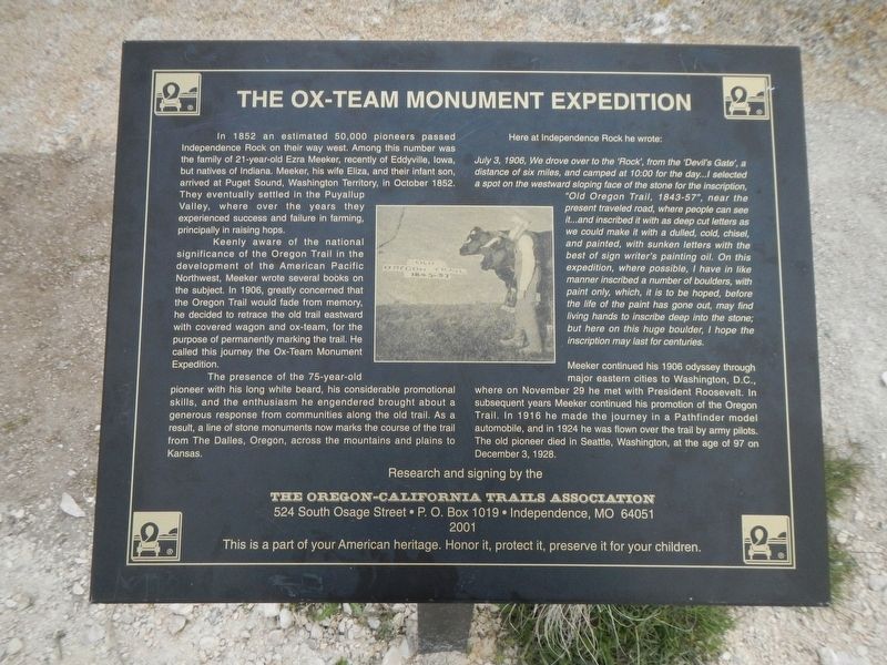
The Ox-Team Monument Expedition
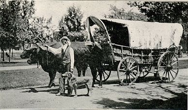
Keenly aware of the national significance of the Oregon Trail in the development of the American Pacific Northwest, Meeker wrote several books on the subject. In 1906, greatly concerned that the Oregon Trail would fade from memory, he decided to retrace the old trail eastward with covered wagon and ox-team, for the purpose of permanently marking the trail. He called this the Ox-Team Monument Expedition.
The presence of the 75-year-old pioneer with his long white beard, his considerable promotional skills, and the enthusiasm he engendered brought about a generous response from communities along the old trail. As a result, a line of stone monuments now marks the course of the trail from The Dalles, Oregon, across the mountains and plains to Kansas.
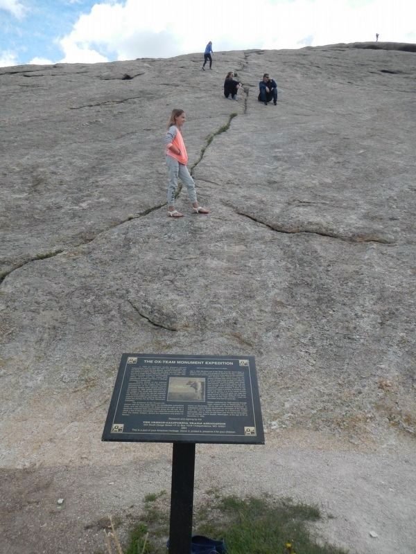
Here at Independence Rock he wrote:
July 3, 1906, We drove over to the 'Rock', from the 'Devil's Gate', a distance of six miles, and camped at 10:00 for the day...I selected a spot on the westward sloping face of the stone for the inscription, "Old Oregon Trail, 1843-57", near the present traveled road, where people can see it...and inscribed it with as deep cut letters as we could make it with a dulled, cold, chisel, and painted, with sunken letters with the best of sign writer's painting oil. On this expedition, where possible, I have in like manner inscribed a number of boulders, with paint only, which, it is to be hoped, before the life of the paint has gone out, may find living hands to inscribe deep into stone; but here on this huge boulder, I hope the inscription lasts for centuries.
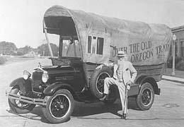
Meeker continued his 1906 odyssey through major eastern cities to Washington, D.C., where on November 29 he met President Roosevelt. In subsequent years Meeker continued his promotion of the Oregon Trail. In 1916 he made the journey in a Pathfinder model automobile, and in 1924 he was flown over the trail by army pilots. The old pioneer died in Seattle, Washington, at the age of 97 on December 3, 1928.
Erected 2001 by The Oregon-California Trails Association.
Topics and series. This historical marker is listed in these topic lists:
Roads & Vehicles • Settlements & Settlers. In addition, it is included in the Oregon Trail series list. A significant historical date for this entry is July 3, 1906.
Location. 42° 29.653′ N, 107° 8.05′ W. Marker is near Alcova, Wyoming, in Natrona County. Marker can be reached from State Highway 220 at milepost 63 near Oregon Trail Road (County Route 319), on the right when traveling south. Touch for map. Marker is in this post office area: Alcova WY 82620, United States of America. Touch for directions.
Other nearby markers. At least 8 other markers are within 6 miles of this marker, measured as the crow flies. Oregon Trail (about 400 feet away, measured in a direct line); Independence Rock (about 400 feet away); The Preservation of Independence Rock (about 400 feet away); Naming a Landmark (about 400 feet away); Geologic Story (about 800 feet away); a different marker also named Independence Rock (about 800 feet away); Frederick Richard Fulkerson (approx. 5 miles away); Ella Watson (approx. 5.1 miles away). Touch for a list and map of all markers in Alcova.
More about this marker. This marker is located on the west side of Independence Rock at Independence Rock State Historic Site.
Credits. This page was last revised on July 5, 2023. It was originally submitted on June 30, 2016, by Barry Swackhamer of Brentwood, California. This page has been viewed 499 times since then and 35 times this year. Photos: 1, 2, 3, 4. submitted on June 30, 2016, by Barry Swackhamer of Brentwood, California.


