Marker Logo HMdb.org THE HISTORICAL
MARKER DATABASE
“Bite-Size Bits of Local, National, and Global History”
Williamsburg in Clermont County, Ohio — The American Midwest (Great Lakes)
 

The Town Square

— Clermont County Bicentennial Marker —


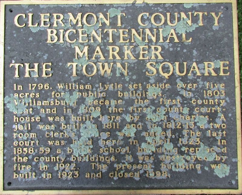
The Town Square Marker image. Click for full size.
Photographed By Rev. Ronald Irick, June 23, 2016
1. The Town Square Marker
Inscription. In 1796, William Lytle set aside over five acres for public buildings. In 1803 Williamsburg became the first county seat and in 1809 the first county courthouse was built here by John Charles. A jail was built in 1811 and in 1812- 13 a two room clerk’s office was added. The last court was held here in April 1823. In 1858- 59 a brick school building replaced the county buildings. It was destroyed by fire in 1922. The present building was built in 1923 and closed in 1998.
 
Erected 2003 by Clermont County Bicentennial Commission.
 
Topics. This historical marker is listed in this topic list: Government & Politics. A significant historical year for this entry is 1803.
 
Location. 39° 3.303′ N, 84° 3.497′ W. Marker is in Williamsburg, Ohio, in Clermont County. Marker can be reached from Main Street (Ohio Route 133). Marker is in park area at NE corner S 5th and Spring (behind old school on Main Str.). Touch for map. Marker is at or near this postal address: 549 W Main St, Williamsburg OH 45176, United States of America. Touch for directions.
 
Other nearby markers. At least 8 other markers are within walking distance of this marker. Williamsburg Township Cemetery (approx. 0.3 miles away); In Recognition of 200 Years of Freedom and Dedication (approx. 0.3 miles away); Marcus Sims - Huber Tannery Location (approx. 0.3 miles away); Stepping Stone
Paid Advertisement
Click on the ad for more information.
Please report objectionable advertising to the Editor.
Click or scan to see
this page online
(approx. 0.3 miles away); Harmony Hill 1800 (approx. 0.3 miles away); Dairy House at Harmony Hill (approx. 0.4 miles away); Williamsburg Veterans Memorial (approx. 0.4 miles away); Dr. L.T. Pease Home Site (approx. 0.4 miles away). Touch for a list and map of all markers in Williamsburg.
 
The Town Square Marker image. Click for full size.
Photographed By Rev. Ronald Irick, June 23, 2016
2. The Town Square Marker
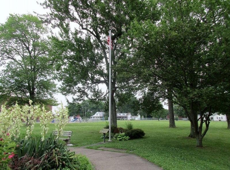
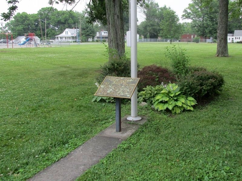
Full view of marker at flag pole
The Town Square Marker image. Click for full size.
Photographed By Rev. Ronald Irick, June 23, 2016
3. The Town Square Marker
Marker and flag pole in park/garden area, behind old schoolhouse.
The Town Square Marker image. Click for full size.
Photographed By Rev. Ronald Irick, June 23, 2016
4. The Town Square Marker
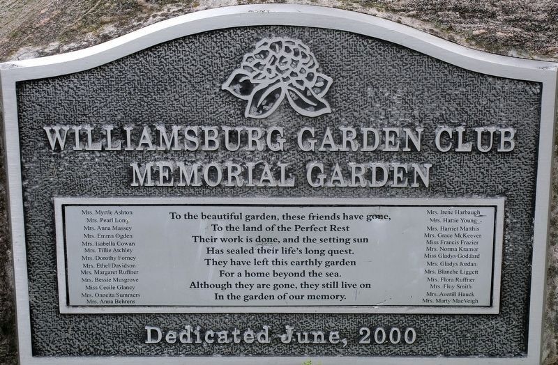
An addition marker in the garden
 
 
Credits. This page was last revised on August 28, 2022. It was originally submitted on July 1, 2016, by Rev. Ronald Irick of West Liberty, Ohio. This page has been viewed 355 times since then and 54 times this year. Photos:   1, 2, 3, 4. submitted on July 1, 2016, by Rev. Ronald Irick of West Liberty, Ohio. • Bill Pfingsten was the editor who published this page.
Share this page.  
Share on Tumblr
m=95579

CeraNet Cloud Computing sponsors the Historical Marker Database.
This website earns income from purchases you make after using our links to Amazon.com. We appreciate your support.
Paid Advertisement
Apr. 18, 2024