Near Bessemer Bend in Natrona County, Wyoming — The American West (Mountains)
Marking Their Progress
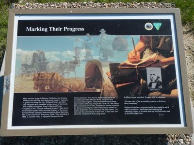
Inscription.
Many travelers along the Oregon, California, and Mormon Pioneer trail relied on maps and reports made by explorers or guides who knew the way. William Clayton provided early emigrants with a detailed written record of his travels. As a member of Brigham Young's Mormon Pioneer Company in 1847, Clayton measures the party's daily travel to the nearest quarter-mile, recording features of the terrain between Winter Quarters, Nebraska and the Great Salt Lake. His "Latter-Day Saint's Emigrants' Guide," first published in 1848, is available today as a popular historical record.
Having journeyed from various departure points on the wooded banks of the Missouri River, emigrants now measured their progress. Mormon Pioneers were almost three-froths of the way along to the Great Salt Lake Valley. The adventurers bound for California has covered a third of the distance to their goal, while some families enroute to Oregon had farther yet to travel than the gold seekers. All had made the commitment of their lives, to start anew and affirm the freedoms of their young nation.
William Clayton identified "Prospect Hill" as offering a:
"Pleasant view of the surrounding country, to the Sweet Water mountains."
West ward from here, emigrants would never again be out of view of mountains, higher in elevation than they had known east of the Mississippi River.
Erected by U.S. Department of the Interior, Bureau of Land Management.
Topics and series. This historical marker is listed in these topic lists: Roads & Vehicles • Settlements & Settlers. In addition, it is included in the Mormon Pioneer Trail series list.
Location. 42° 39.629′ N, 106° 48.598′ W. Marker is near Bessemer Bend, Wyoming, in Natrona County. Marker is on Oregon Trail Road (County Route 319) near County Route 308, on the right when traveling south. Touch for map. Marker is in this post office area: Casper WY 82604, United States of America. Touch for directions.
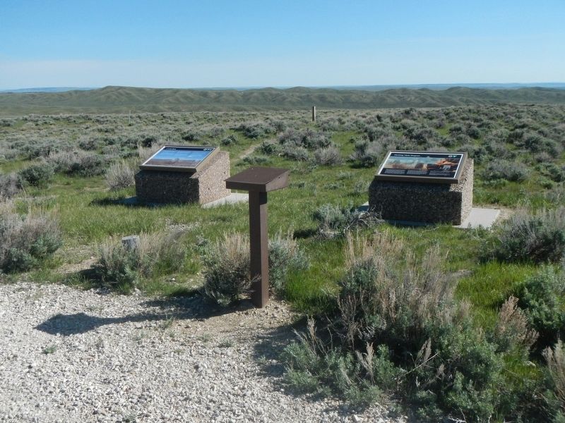
Other nearby markers. At least 8 other markers are within 14 miles of this marker, measured as the crow flies. A Look Back (a few steps from this marker); Lure of the West (within shouting distance of this marker); And On the Horizon... (within shouting distance of this marker); Willow Springs (approx. 1.3 miles away); Alcova Reservoir (approx. 7˝ miles away); Pathfinder Dam Construction (approx. 8 miles away); Fremont Canyon Power Plant (approx. 13.1 miles away); Fremont Canyon (approx. 13.1 miles away). Touch for a list and map of all markers in Bessemer Bend.
More about this marker. This marker is located at Ryan (Prospect) Hill BLM Interpretive Site. The Site is about 13 miles
southwest of Casper near Petroleum Line marker #28. From the town of Mills, take Poison Spider Road to county road 319. or from Bessemer Bend take county road 308. Note that CR 308 turns right where CR 314 continues straight.
Credits. This page was last revised on July 3, 2016. It was originally submitted on July 3, 2016, by Barry Swackhamer of Brentwood, California. This page has been viewed 301 times since then and 16 times this year. Photos: 1, 2, 3. submitted on July 3, 2016, by Barry Swackhamer of Brentwood, California.


