Fredericksburg, Virginia — The American South (Mid-Atlantic)
Harnessing The River's Power
Fredericksburg: Timeless.
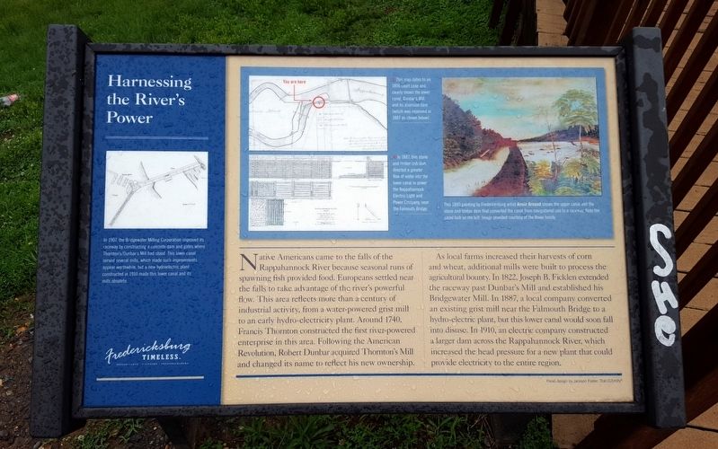
Native Americans came to the falls of the Rappahannock River because seasonal runs of spawning fish provided food. Europeans settled near the falls to take advantage of the river’s powerful flow. This area reflects more than a century of industrial activity, from a water-powered grist mill to an early hydro-electricity plant. Around 1740, Francis Thornton constructed the first river-powered enterprise in this area. Following the American Revolution, Robert Dunbar acquired Thornton’s Mill and changed its name to reflect his new ownership.
As local farms increased their harvests of corn and wheat, additional mills were built to process the agricultural bounty. In 1822, Joseph B. Ficklen extended the raceway past Dunbar’s Mill and established his Bridgewater Mill. In 1887, a local company converted an existing grist mill near the Falmouth Bridge to a hydro-electric plant, but this lower canal would soon fall into disuse. In 1910, an electric company constructed a larger dam across the Rappahannock River, which increased the head pressure for a new plant that could provide electricity to the entire region.
(captions)
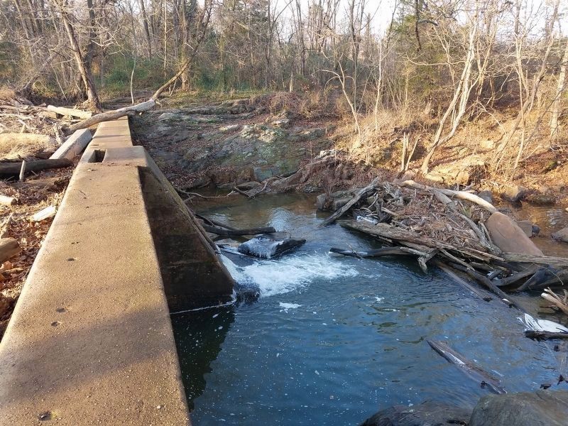
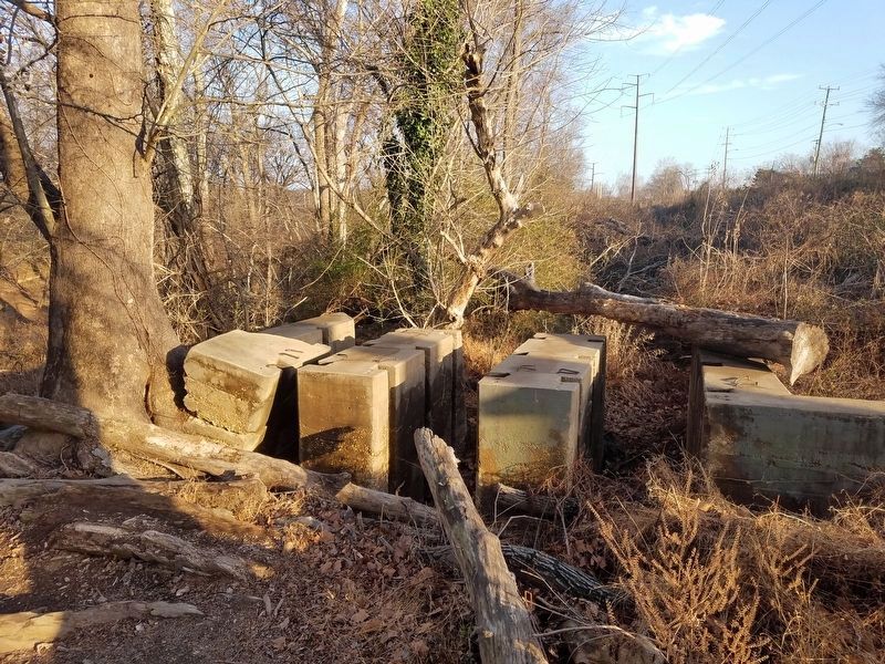
In 1907, the Bridgewater Milling Corporation improved its raceway by constructing a concrete dam and gates where Thorton's/Dunbar's Mill had stood. This lower canal served several mills, which made such improvements appear worthwhile, but a new hydroelectric plant constructed in 1910 made this lower canal and its mills obsolete.
This map dates to an 1806 court case and clearly shows the lower canal, Dunbar’s Mill, and its diversion dam (which was improved in 1887 as shown below).
In 1887, this stone and timber crib dam directed a greater flow of water into the lower canal to power the Rappahannock Electric Light and Power Company, near the Falmouth Bridge.
This 1890 painting by Fredericksburg artist Annie Arnaud shows the upper canal and the stone and timber dam that converted the canal from navigational use to a raceway. Note the canal lock on the left. Image provided courtesy of the Rowe family.
Erected by Fredericksburg Economic Development and Tourism Office.
Topics and series. This historical marker is listed in these topic lists: Industry & Commerce • Man-Made Features • Settlements & Settlers • Waterways & Vessels. In addition, it is included in the Virginia, Fredericksburg: Timeless. series list.
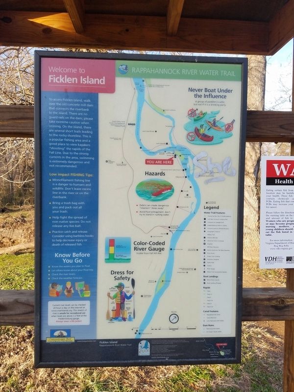
Location. 38° 19.183′ N, 77° 28.511′ W. Marker is in Fredericksburg, Virginia. Marker is on Riverside Drive, 0.1 miles west of Woodford Street, on the right when traveling west. Touch for map. Marker is in this post office area: Fredericksburg VA 22401, United States of America. Touch for directions.
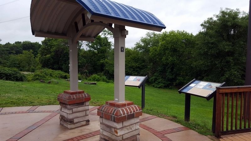
Other nearby markers. At least 8 other markers are within walking distance of this marker. Contact: An Industrial Society Confronts A Native American Culture (here, next to this marker); Amoroleck Encounters John Smith (about 500 feet away, measured in a direct line); Veterans of Foreign Wars Eternal Flame (approx. ¼ mile away); Killed in Action Memorials (approx. ¼ mile away); Transportation and Settlement (approx. ¼ mile away); Capt. John Smith (approx. ¼ mile away); Gari Melchers Home and Studio (approx. ¼ mile away); Bound for Freedom (approx. 0.3 miles away). Touch for a list and map of all markers in Fredericksburg.
Credits. This page was last revised on February 2, 2023. It was originally submitted on July 4, 2016, by Bernard Fisher of Richmond, Virginia. This page has been viewed 400 times since then and 24 times this year. Photos: 1, 2. submitted on July 4, 2016, by Bernard Fisher of Richmond, Virginia. 3, 4, 5. submitted on March 4, 2017, by Kevin W. of Stafford, Virginia.
