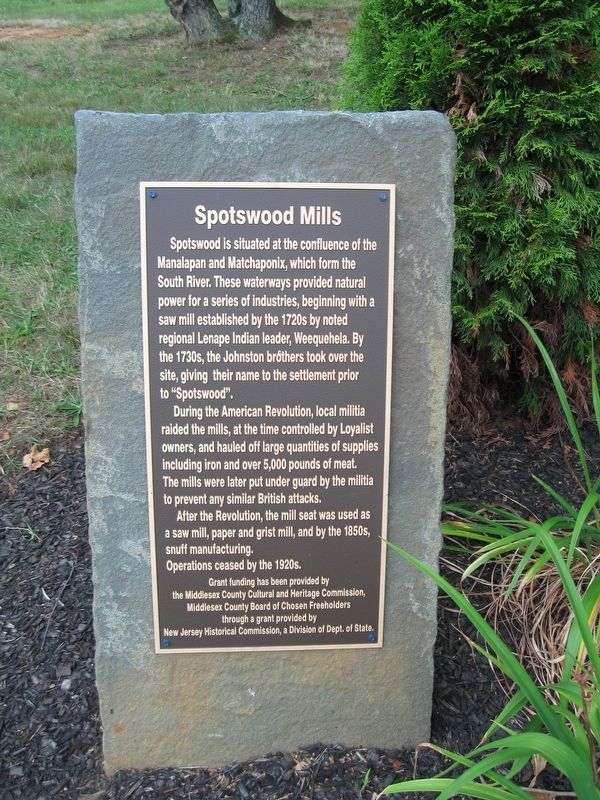
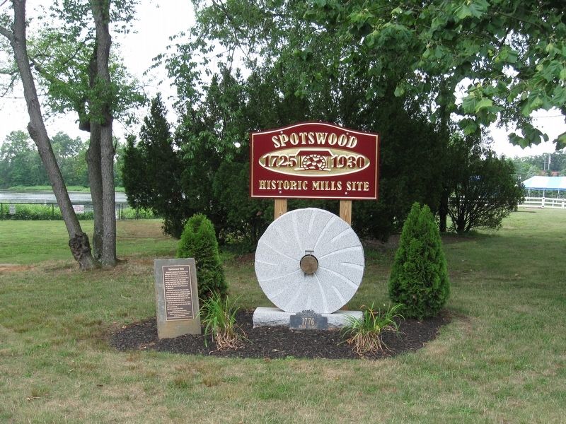
Spotswood Mills
During the American Revolution, local militia raided the mills, at the time controlled by Loyalist owners, and hauled off large quantities of supplies including iron and over 5,000 pounds of meat, The mills were later put under guard by the militia to prevent any similar British attacks.
After the Revolution, the mill seat was used as a saw mill, paper and grist mill, and by the 1850s, snuff manufacturing.
Operations ceased by the 1920s
Grant funding has been provided by the Middlesex County Cultural and Heritage Commission, Middlesex County Board of Chosen Freeholders through a grant provided by New Jersey Historical Commission, a Division of Dept. of State
Erected by Middlesex County Cultural and Heritage Commission.
Topics. This historical marker is listed in these topic lists: Colonial Era • Industry & Commerce
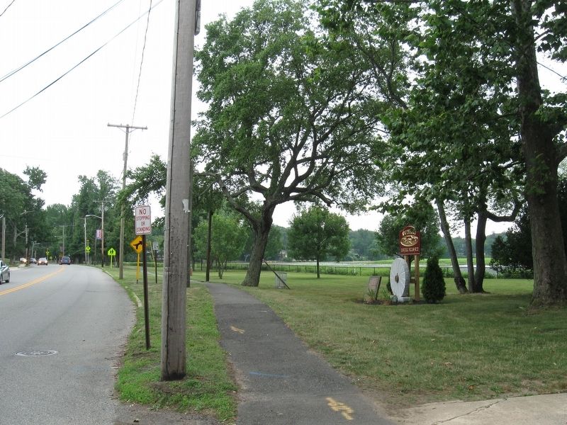
Location. 40° 23.393′ N, 74° 23.375′ W. Marker is in Spotswood, New Jersey, in Middlesex County. Marker is on Devoe Avenue (County Route 613), on the right when traveling south. Touch for map. Marker is at or near this postal address: 50 Devoe Avenue, Spotswood NJ 08884, United States of America. Touch for directions.
Other nearby markers. At least 8 other markers are within 4 miles of this marker, measured as the crow flies. St. Peter's Episcopal Church (about 500 feet away, measured in a direct line); General George Washington (approx. 0.6 miles away); Spotswood’s 1832 Camden & Amboy Railroad Memorial (approx. 1.1 miles away); Borough of Helmetta (approx. 1.7 miles away); The Appleby Devoe Memorial Library (approx. 2.2 miles away); Basilone Memorial Bridge (approx. 3.4 miles away); L.J. Smith Farmhouse (approx. 3.6 miles away); The Bell Shall Not Toll (approx. 4 miles away). Touch for a list and map of all markers in Spotswood.
Credits. This page was last revised on July 12, 2016. It was originally submitted on July 8, 2016, by Stephen Kokoska of North Brunswick, New Jersey. This page has been viewed 665 times since then and 60 times this year. Photos: 1, 2, 3. submitted on July 8, 2016, by Stephen Kokoska of North Brunswick, New Jersey. • Bill Pfingsten was the editor who published this page.


