Ticonderoga in Essex County, New York — The American Northeast (Mid-Atlantic)
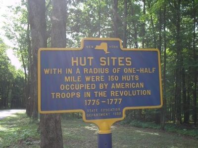
Hut Sites
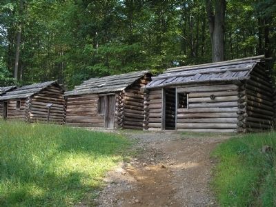
mile were 150 huts
occupied by American
troops in the Revolution
1775 – 1777.
Erected 1932 by New York State Education Department.
Topics. This historical marker is listed in these topic lists: Forts and Castles • Military • Notable Places • War, US Revolutionary. A significant historical year for this entry is 1775.
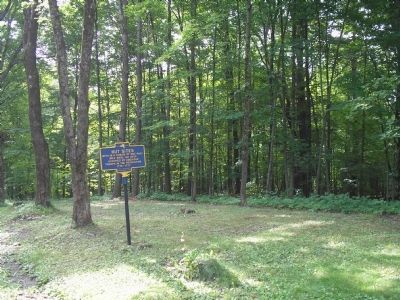
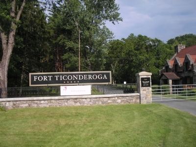
Location. 43° 50.863′ N, 73° 23.524′ W. Marker is in Ticonderoga, New York, in Essex County. Marker is on Sandy Redoubt, on the right when traveling east. Marker is located along the entrance road to Fort Ticonderoga. Touch for map. Marker is in this post office area: Ticonderoga NY 12883, United States of America. Touch for directions.
Other nearby markers. At least 8 other markers are within walking distance of this marker. Near this spot stood Montcalm (within shouting distance of this marker); The French Lines (about 500 feet away, measured in a direct line); “The Black Watch” (about 500 feet away); The Carillon Battlefield (about 500 feet away); The French Lines & Carillon Battlefield (about 600 feet away); Carillon, July 8-1758 - 1958-13 Juillet (approx. 0.2 miles away); Troops of Colonial Wars at Ticonderoga (approx. ¼ mile away); Revolutionary War Patriots (approx. ¼ mile away). Touch for a list and map of all markers in Ticonderoga.
Also see . . .
1. Fort Ticonderoga National Historic Landmark. (Submitted on July 26, 2008, by Bill Coughlin of Woodland Park, New Jersey.)
2. The Battle of Fort Ticonderoga, May 11, 1775. The American Revolutionary War website. (Submitted on July 26, 2008, by Bill Coughlin of Woodland Park, New Jersey.)
Credits. This page was last revised on June 16, 2016. It was originally submitted on July 26, 2008, by Bill Coughlin of Woodland Park, New Jersey. This page has been viewed 1,345 times since then and 25 times this year. Photos: 1, 2, 3, 4. submitted on July 26, 2008, by Bill Coughlin of Woodland Park, New Jersey.


