Scurry in Kaufman County, Texas — The American South (West South Central)
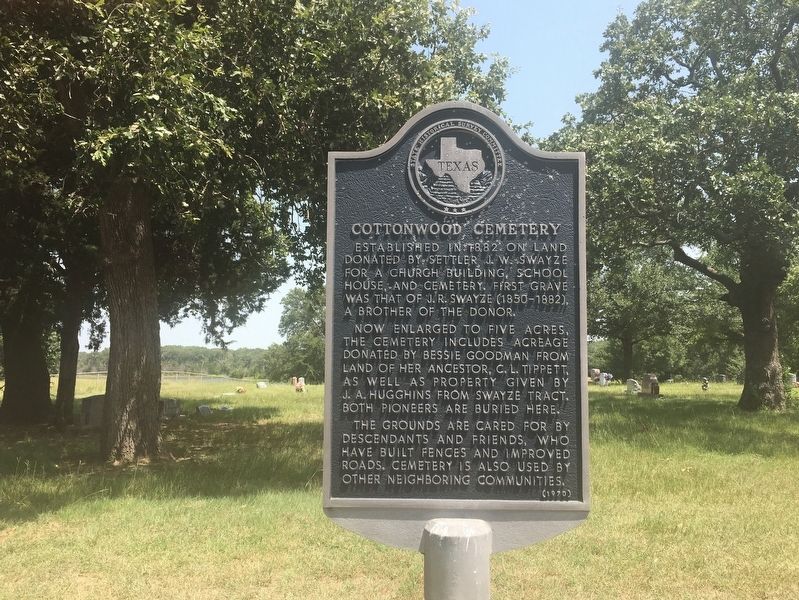
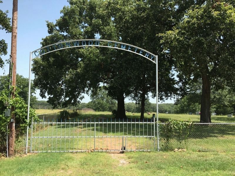
Cottonwood Cemetery
Now enlarged to five acres, the cemetery includes acreage donated by Bessie Goodman from land of her ancestor, C. L. Tippett, as well as property given by J. A. Hugghins from Swayze tract. Both pioneers are buried here.
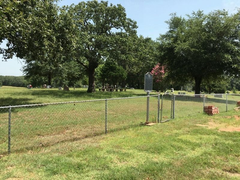
The grounds are cared for by descendants and friends, who have built fences and improved roads. Cemetery is also used by other neighboring communities.
Erected 1970 by State Historical Survey Committee. (Marker Number 8503.)
Topics. This historical marker is listed in these topic lists: Cemeteries & Burial Sites • Settlements & Settlers. A significant historical year for this entry is 1882.
Location. 32° 27.536′ N, 96° 24.029′ W. Marker is in Scurry, Texas, in Kaufman County. Marker can be reached from County Road 4084, 1.9 miles south of Farm to Market Road 2451, on the right when traveling west. Cemetery is 0.6 miles north of CR 4084 on an unmarked road. Touch for map. Marker is in this post office area: Scurry TX 75158, United States of America. Touch for directions.
Other nearby markers. At least 8 other markers are within 10 miles of this marker, measured as the crow flies. Cottonwood Baptist Church (approx. half a mile away); Rosser Depot (approx. 3.1 miles away); Mt. Olive Missionary Baptist Church (approx. 4.3 miles away); Kaufman Lodge No. 726, A.F. & A.M. (approx. 4.4 miles away); Pyle Prairie Cemetery (approx. 5.6 miles away); Kaufman County Indigent Cemetery (approx. 8.6 miles away); Kaufman County Poor Farm (approx. 8.8 miles away); Kaufman Pioneer Cemetery (approx. 9˝ miles away). Touch for a list and map of all markers in Scurry.
Credits. This page was last revised on July 18, 2016. It was originally submitted on July 16, 2016, by Rheba Bybee of Seagoville, Texas. This page has been viewed 492 times since then and 43 times this year. Photos: 1, 2, 3. submitted on July 16, 2016, by Rheba Bybee of Seagoville, Texas. • Bernard Fisher was the editor who published this page.


