Long Pond Trail
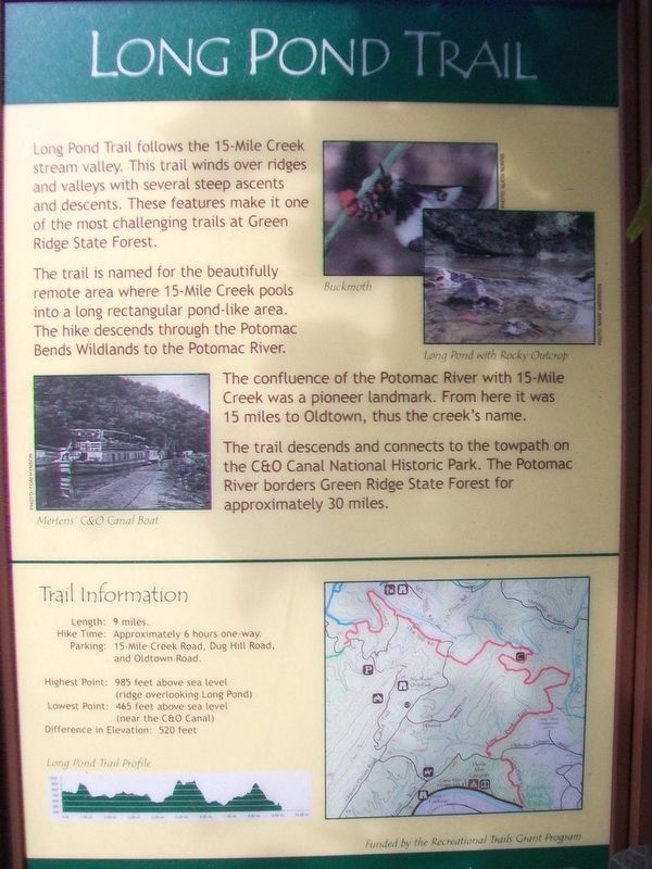
Long Pond Trail follows the 15-Mile Creek stream valley. This trail winds over ridges and valleys with several steep ascents and descents. These features make it one of the most challenging trails at Green Ridge State Forest.
The trail is named for the beautifully remote area where 15-Mile Creek pools into a long rectangular pond-like area. The hike descends through the Potomac Bends Wildlands to the Potomac River.
The confluence of the Potomac River with 15-Mile Creek was a pioneer landmark. From here it was 15 miles to Oldtown, thus the creek's name.
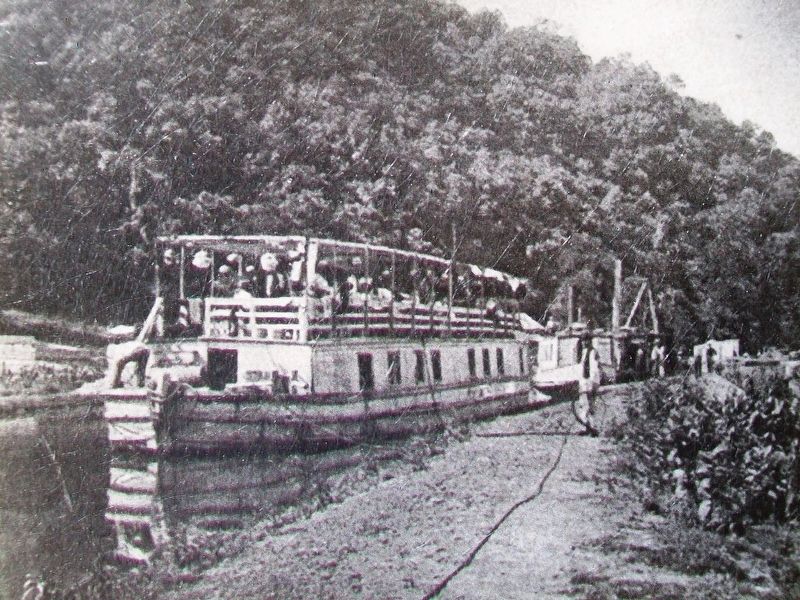
The trail descends and connects to the towpath on the C&O Canal National Historic Park. The Potomac River borders Green Ridge State Forest for approximately 30 miles.
Trail Information
[Not transcribed]
Erected by Maryland State Highway Administration Recreation Trail Grant Program.
Topics. This historical marker is listed in these topic lists: Environment • Waterways & Vessels.
Location. 39° 39.906′ N, 78° 26.568′ W. Marker is near Flintstone, Maryland, in Allegany County. Marker is on Headquarters Drive, 0.3 miles west of M. V. Smith Road NE, on the right when traveling west. Marker is at the Green Ridge State Forest
Other nearby markers. At least 8 other markers are within 4 miles of this marker, measured as the crow flies. Twin Oaks Trail (here, next to this marker); Log Roll Trail (a few steps from this marker); Pine Lick Trail (within shouting distance of this marker); John Mash Jr. (within shouting distance of this marker); McCausland's Raid (approx. 1.4 miles away); Perry Barnes Game Refuge (approx. 1.9 miles away); Billmeyer Game Refuge (approx. 1.9 miles away); Town Hill Overlook (approx. 3.2 miles away). Touch for a list and map of all markers in Flintstone.
Also see . . . Chesapeake & Ohio Canal National Historical Park. (Submitted on July 17, 2016, by William Fischer, Jr. of Scranton, Pennsylvania.)
Credits. This page was last revised on August 5, 2021. It was originally submitted on July 17, 2016, by William Fischer, Jr. of Scranton, Pennsylvania. This page has been viewed 361 times since then and 21 times this year. Photos: 1, 2, 3. submitted on July 17, 2016, by William Fischer, Jr. of Scranton, Pennsylvania.


